Topographic Surveys
Related Projects





Topographical / Land Surveying
Services include;
- Topographical Surveys
- GPS Mapping
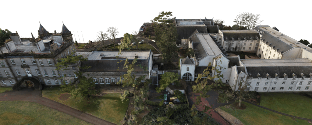
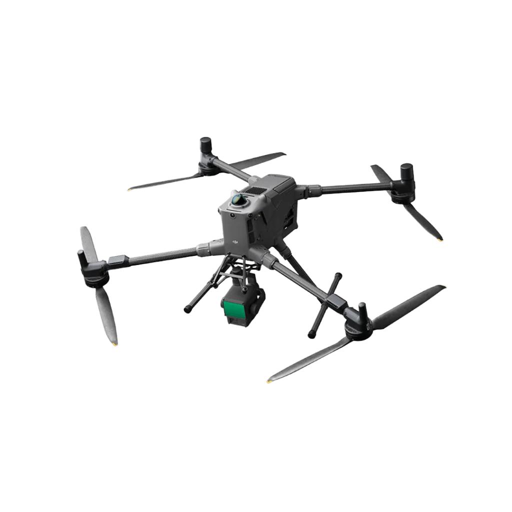
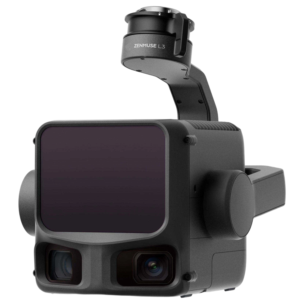
- Drone Mapping
- Volume Calculations
- As-Built Survey
- Dimensional Control
- OS Map Service
- Title Plans
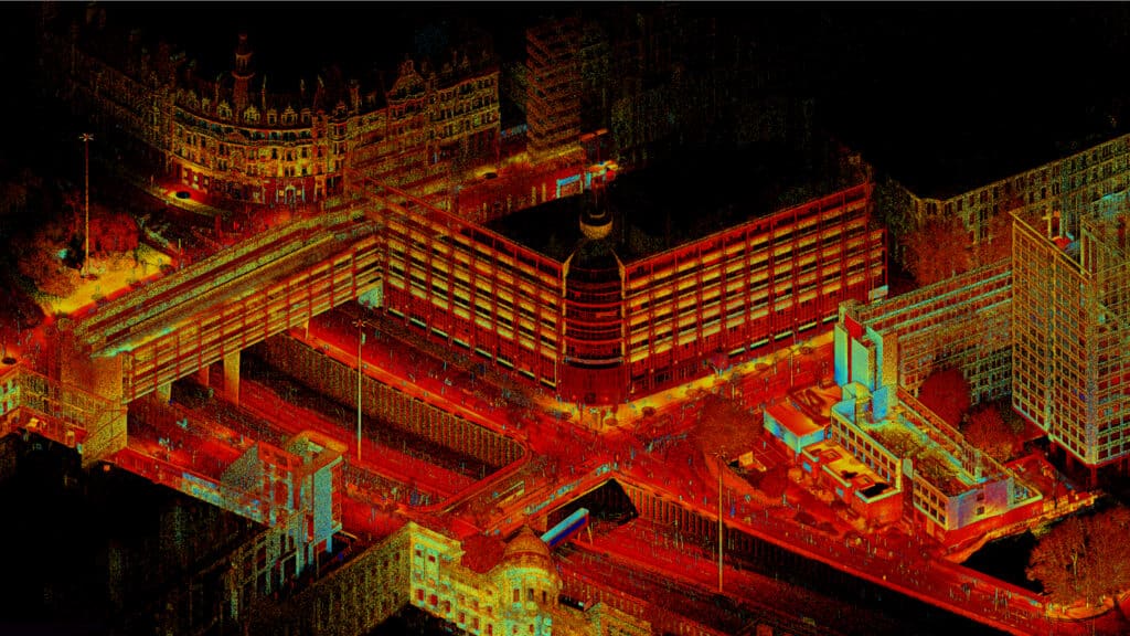
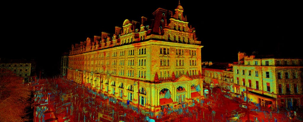
Sigma Surveys conducts topographical surveys using a combination of Trimble S7 total stations and Trimble R12i GNSS receivers, with drone mapping and laser scanning techniques applied as needed.
Key aspects of our approach include:
- Fully robotic total stations, allowing our surveyors complete control over the surveying apparatus and data coding.
- GNSS receivers that capture data from GPS, GLONASS, Galileo, and Beidou satellites to ensure the highest accuracy.
- A Trimble VRS Now subscription for real-time coordinate corrections from the Ordnance Survey (OS) while on site.
All surveys are conducted in accordance with RICS specifications and The Survey Association (TSA) best practice guidelines.
With offices in Glasgow and Edinburgh, we can undertake surveys across Central Scotland and the UK.
Make An Enquiry
Or Call Us On:
Contact Us
To request a quotation or discuss your survey requirements, please contact us using the enquiry form or details below. We look forward to providing you with unparalleled service and expertise no matter what size of project.