A71 Strathaven – Darvel
Gallery



Other Images
Client
- SLR Consulting
Scope of Work
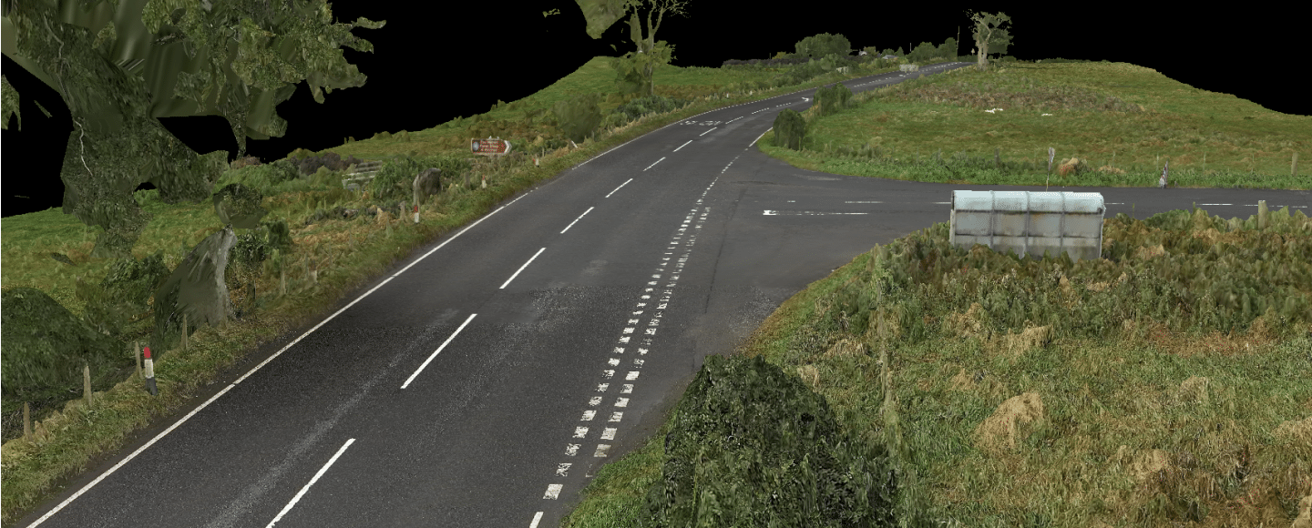
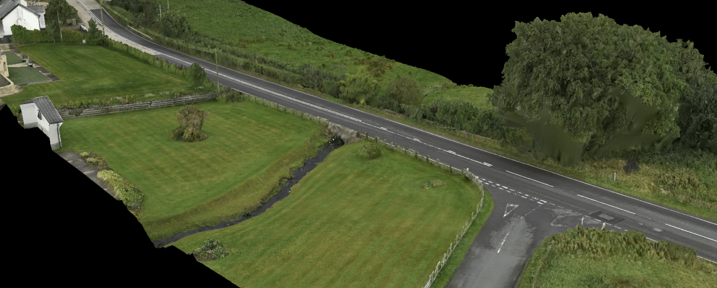
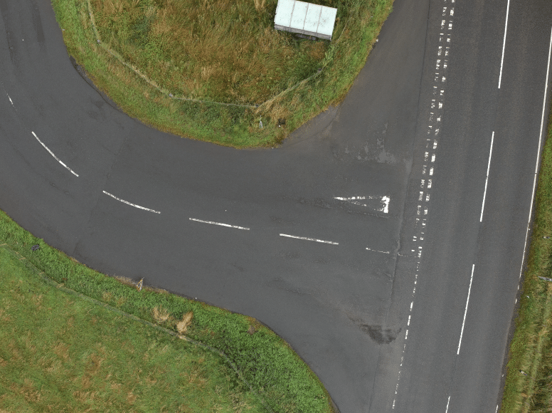
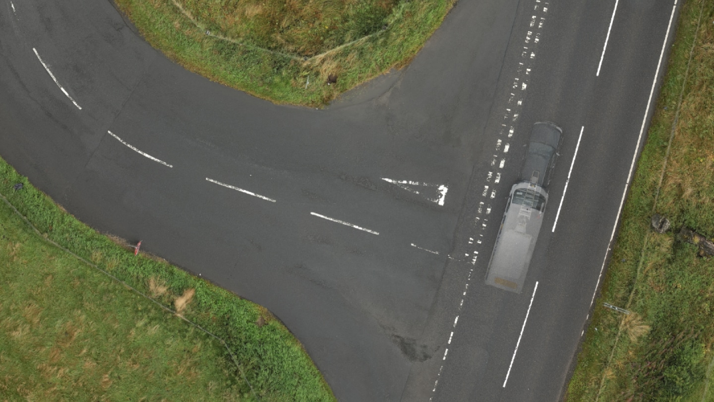
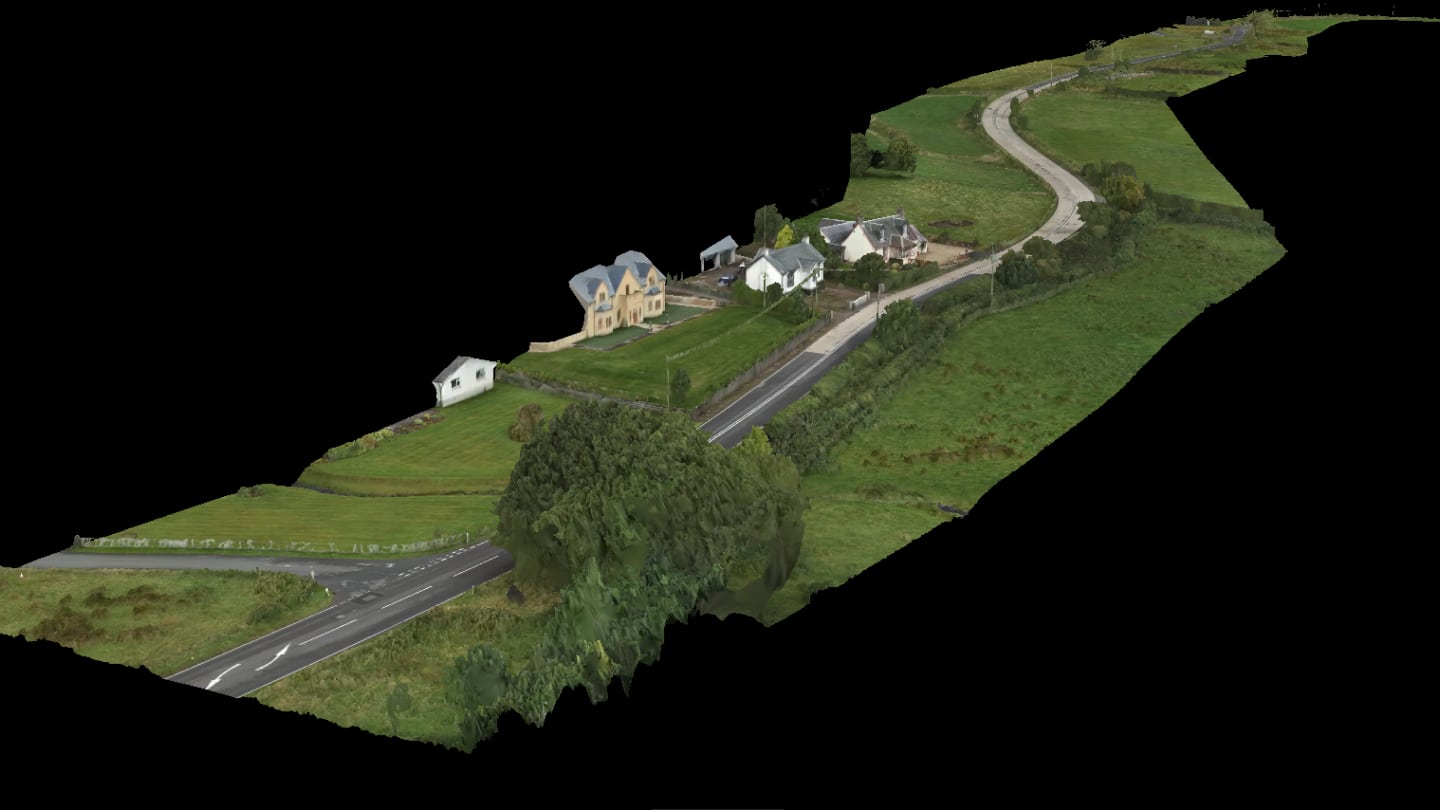
To undertake a topographical survey and photogrammetric drone model of a section of the A71 to enable designers to ascertain whether wind turbine blades could negotiate the tight bends to the western end of the road.
Survey Deliverables
- Topographical Survey: Conducted using Trimble S7 total stations, Trimble R12i GNSS receivers, and a DJI Matrice 300 RTK UAV with Zenmuse P1 camera and L2 LiDAR sensor.
- Photogrammetric Model: Created to aid in visualising the suitability of the road for transporting wind turbine blades.
The comprehensive survey data and visualisations were used to support the design and planning phases of the windfarm project.
Equipment
The equipment we used on the A71 Strathaven – Darvel project.
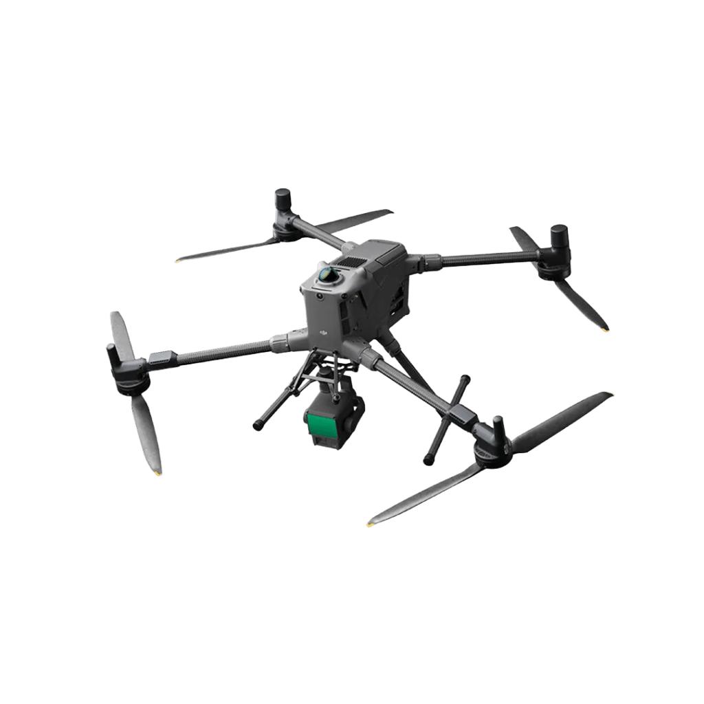
DJI Matrice M400 RTK

Trimble R12i - GNSS Receiver

Trimble S7 - Total Station

Trimble S9 - Total Station
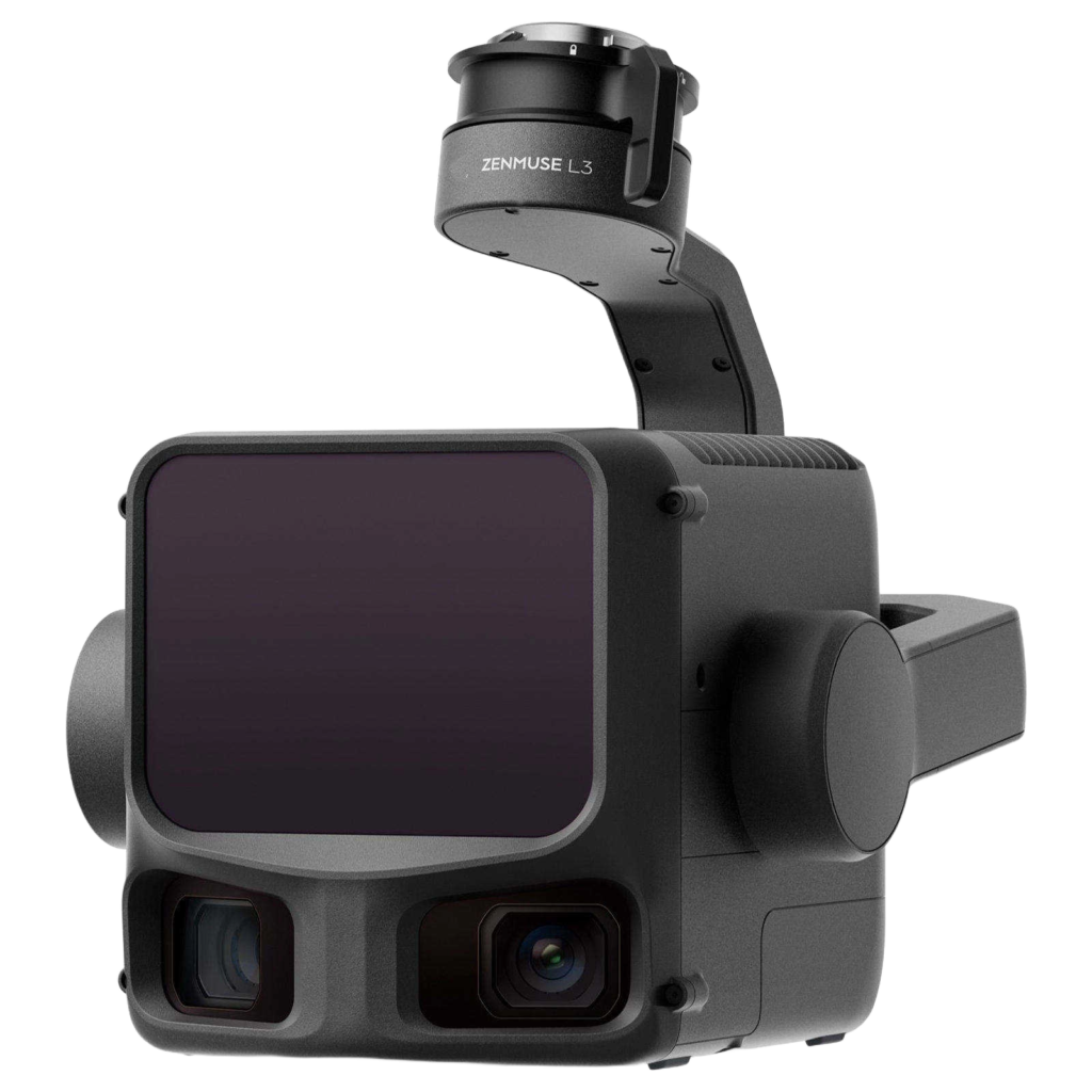
Zenmuse L3 LiDAR Sensor

Zenmuse P1 Camera
Software
The software we used on the A71 Strathaven – Darvel project.




Clients