Drone Deploy
Similar to DJI Terra and Pix4D, but offering additional benefits, DroneDeploy is the only software that seamlessly integrates drone mapping with photo documentation. Clients with a DroneDeploy account can access datasets and utilise built-in tools to view, comment, and share insights about their asset or site. This cloud-based platform enables easy monitoring of site progress over time without the need to transfer large datasets, ensuring efficient collaboration and data management.
Key Features
- Orthomosaics – Generate precise, georeferenced, and orthorectified maps.
- Terrain Models – Produce detailed topographic models, including DSMs.
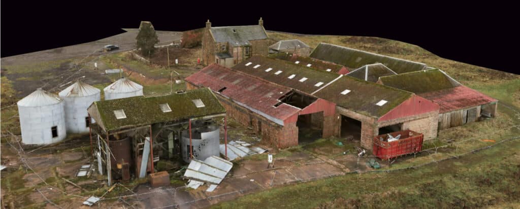
- 3D Models – Create highly accurate 3D reconstructions and point clouds.

Software Use Cases
Here are some of the projects that utilised the Drone Deploy