Feddinch Mains, St Andrews
Gallery


Other Images
Survey Objective
Produce detailed survey drawings to RICS standards of the existing farmhouse and steading in preparation for the development of an 18-hole golf course, clubhouse, and hotel.
Data Collection
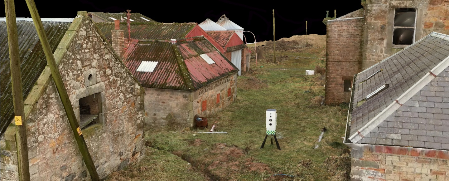
- 3D Laser Scanning: Trimble X9 3D laser scanner used for all ground level terrestrial scanning.
- UAV Mapping: Used a DJI Matrice 300 RTK UAV with Zenmuse P1 camera and L2 LiDAR sensor for aerial mapping of roofs and overall site extents..
Deliverables
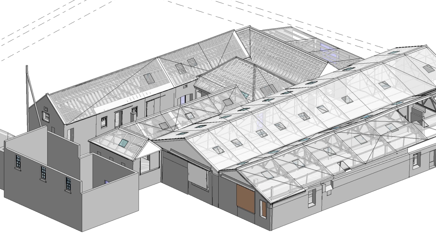
- Revit Model: Created to LoD300 specification.
- 2D Drawings: Includes floor plans, internal, and external elevations.
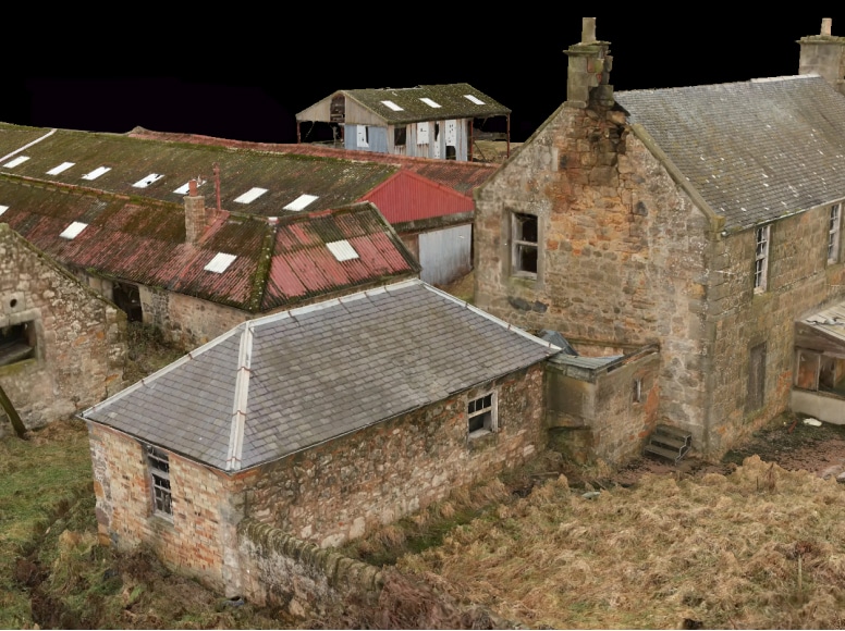
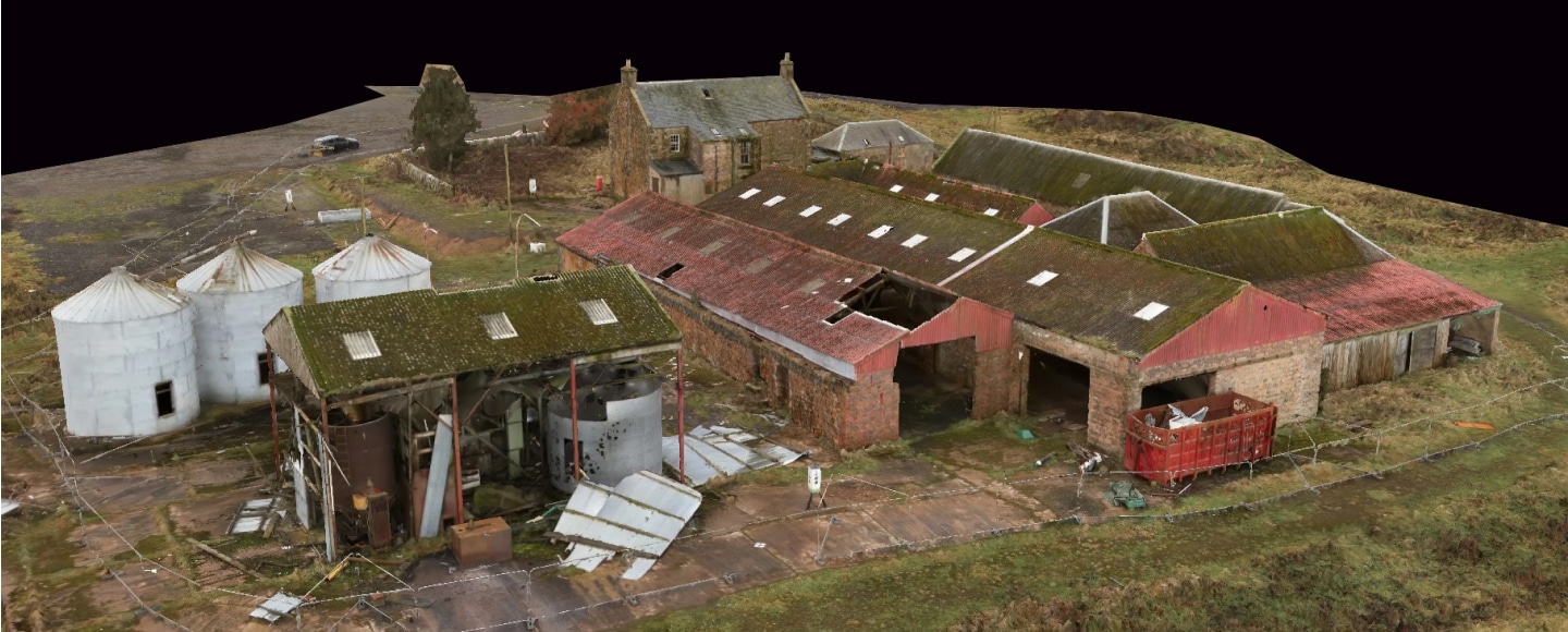
- 3D Photogrammetric Model: Produced for visualisation and uploaded to web hosting server for client collaboration.
The survey data and 3D models facilitated detailed planning and design for the proposed golf development which has since been approved. Construction is now underway thanks to the comprehensive survey data provided (May 2025).
Equipment
The equipment we used on the Feddinch Mains, St Andrews project.
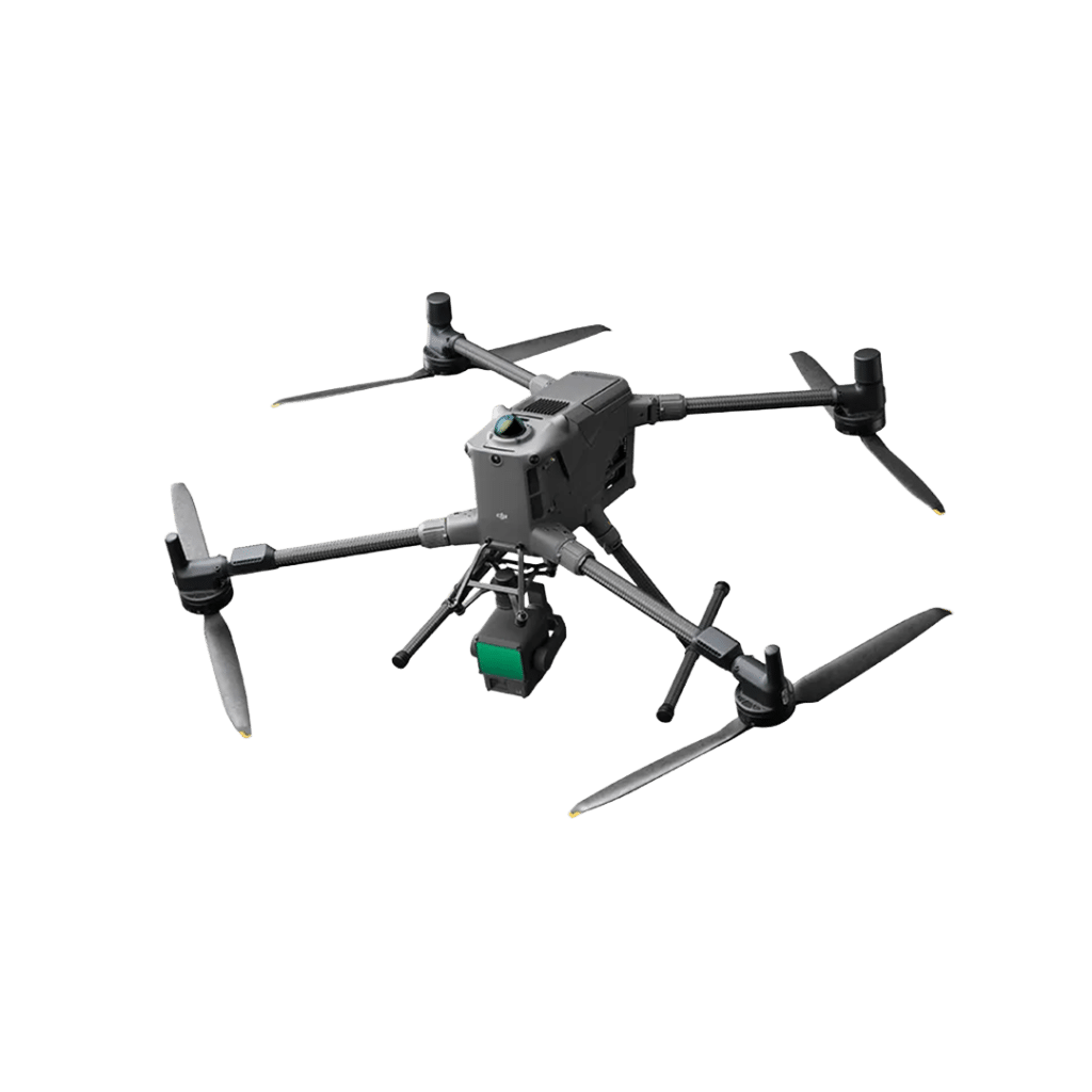
DJI Matrice M400 RTK

Trimble R12i - GNSS Receiver

Trimble S7 - Total Station

Trimble X9 - 3D Laser Scanner
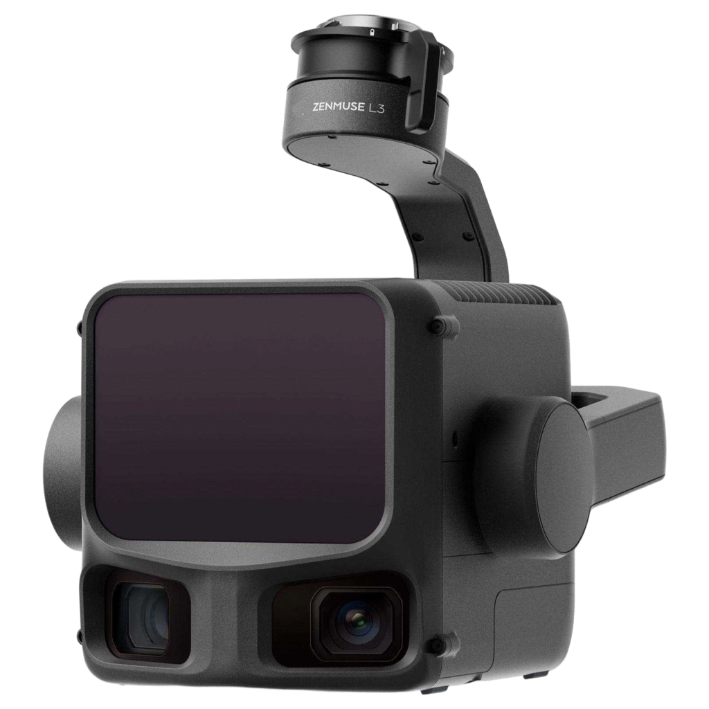
Zenmuse L3 LiDAR Sensor

Zenmuse P1 Camera
Software
The software we used on the Feddinch Mains, St Andrews project.




Clients