AutoCAD
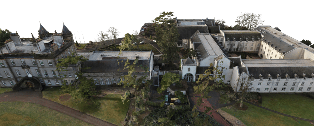
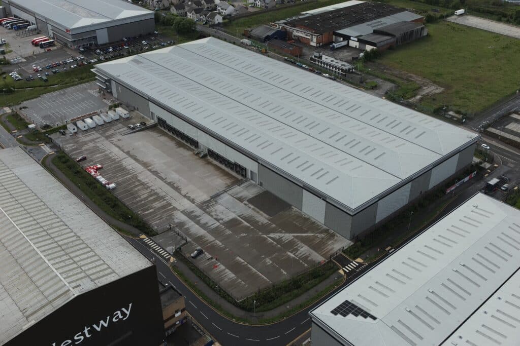
For topographical and measured building surveying professionals, AutoCAD is the ultimate tool for topographic mapping, floor plans, and elevations. It seamlessly imports point cloud data from laser scans and drones, ensuring precise land and building surveys. At Sigma Surveys, we enhance AutoCAD’s capabilities with various bolt-ons, providing additional tools and increased efficiency in producing high-quality drawings.
Key Features of AutoCAD
- 2D Drafting & Annotation – Create accurate technical drawings, plans, and schematics.
- 3D Modeling & Visualisation – Build detailed 3D models and render them with realistic materials and lighting.
- Customisation & Automation – Use scripts, macros, and AutoLISP programming to automate repetitive tasks.
- Collaboration Tools – Share files easily with DWG format compatibility and cloud-based storage.
- Support for Multiple Industries – Includes specialised toolsets for architecture, surveying, and civil engineering.

Software Use Cases
Here are some of the projects that utilised the AutoCAD