A b o u t U s
Leading the Way in High-Specification Surveying
Sigma Surveys & Mapping Ltd was established in 2007 with a mission to deliver precise, high-specification surveys and has become one of Scotland’s largest and most respected Geospatial surveying firms.
Our expertise & technology
At Sigma Surveys, our strength lies in our exceptionally skilled team of surveyors and CAD technicians. We continually reinvest in the latest survey equipment and industry-leading software to ensure we stay at the cutting edge of technological advancements.

Leica RTC360 - 3D Laser Scanner

Trimble R12i - GNSS Receiver

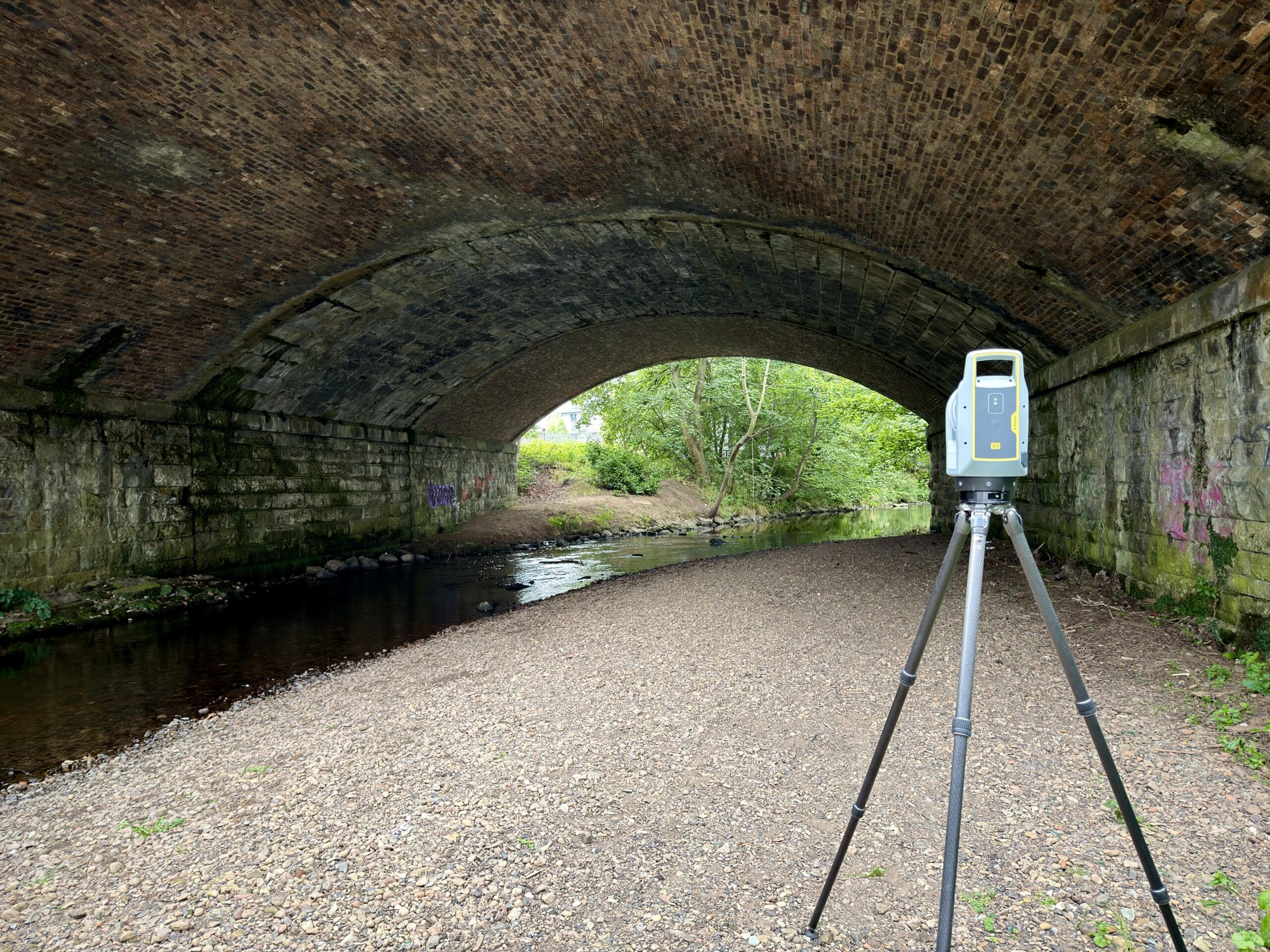
Trimble X9 - 3D Laser Scanner

DJI Terra

Pix4D Mapper





Credentials & certifications
Regulated by the Royal Institute of Chartered Surveyors (RICS) and proud to be one of only six companies in Scotland with full membership in The Survey Association (TSA), we adhere to their Continuing Company Development scheme on an annual basis. Additionally, we hold Constructionline Silver, Builder’s Profile and Acclaim SSIP accreditation and meet the current PAS91 H&S requirements. Our surveyors are CSCS approved, First Aid trained and Working at Height certified, demonstrating our commitment to the highest standards of safety and professionalism.
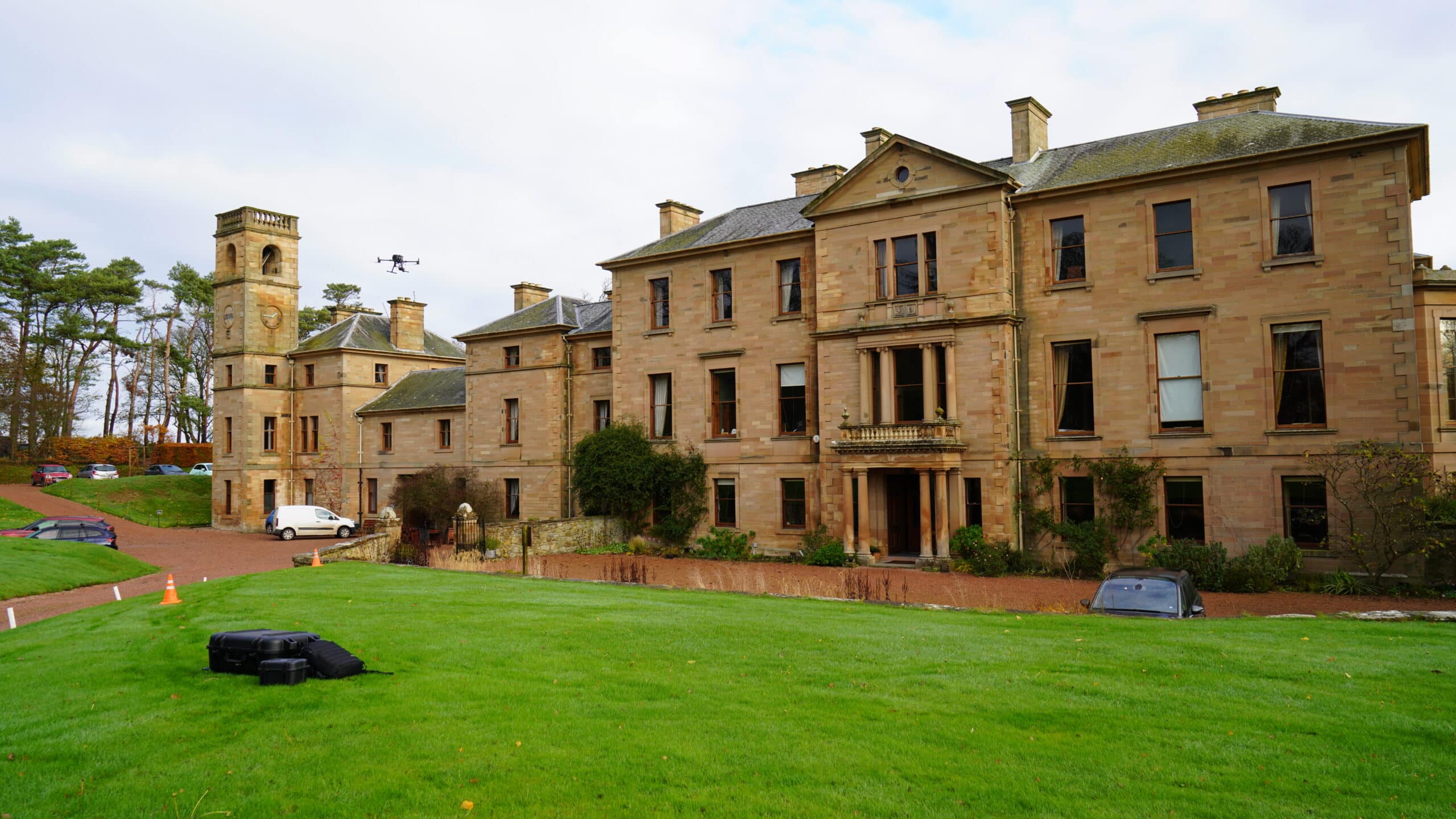
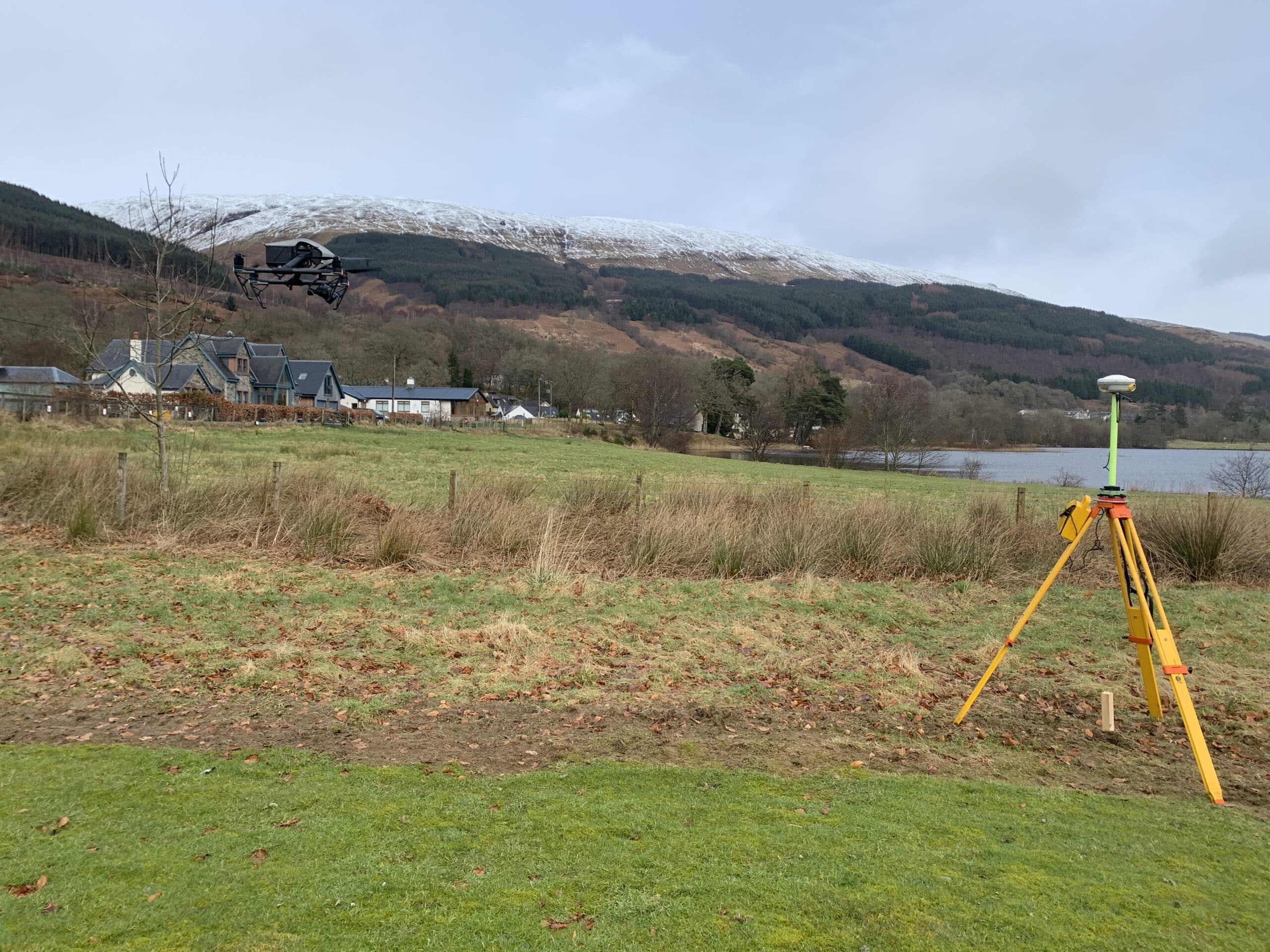
Furthermore, Sigma Surveys is licensed by the Civil Aviation Authority (CAA) to operate drones/UAVs commercially, holding General VLOS Certificates (GVC). We are also a Gold member of the Drone Safe Register (DSR), underscoring our dedication to innovation and excellence in aerial surveying.










Make An Enquiry
Or Call Us On:
Contact Us
To request a quotation or discuss your survey requirements, please contact us using the enquiry form or details below. We look forward to providing you with unparalleled service and expertise no matter what size of project.