Westway Business Park, Renfrew
*Press play to start the 3D Model
Gallery

Client
Bowmer + Kirkland
Scope of Work
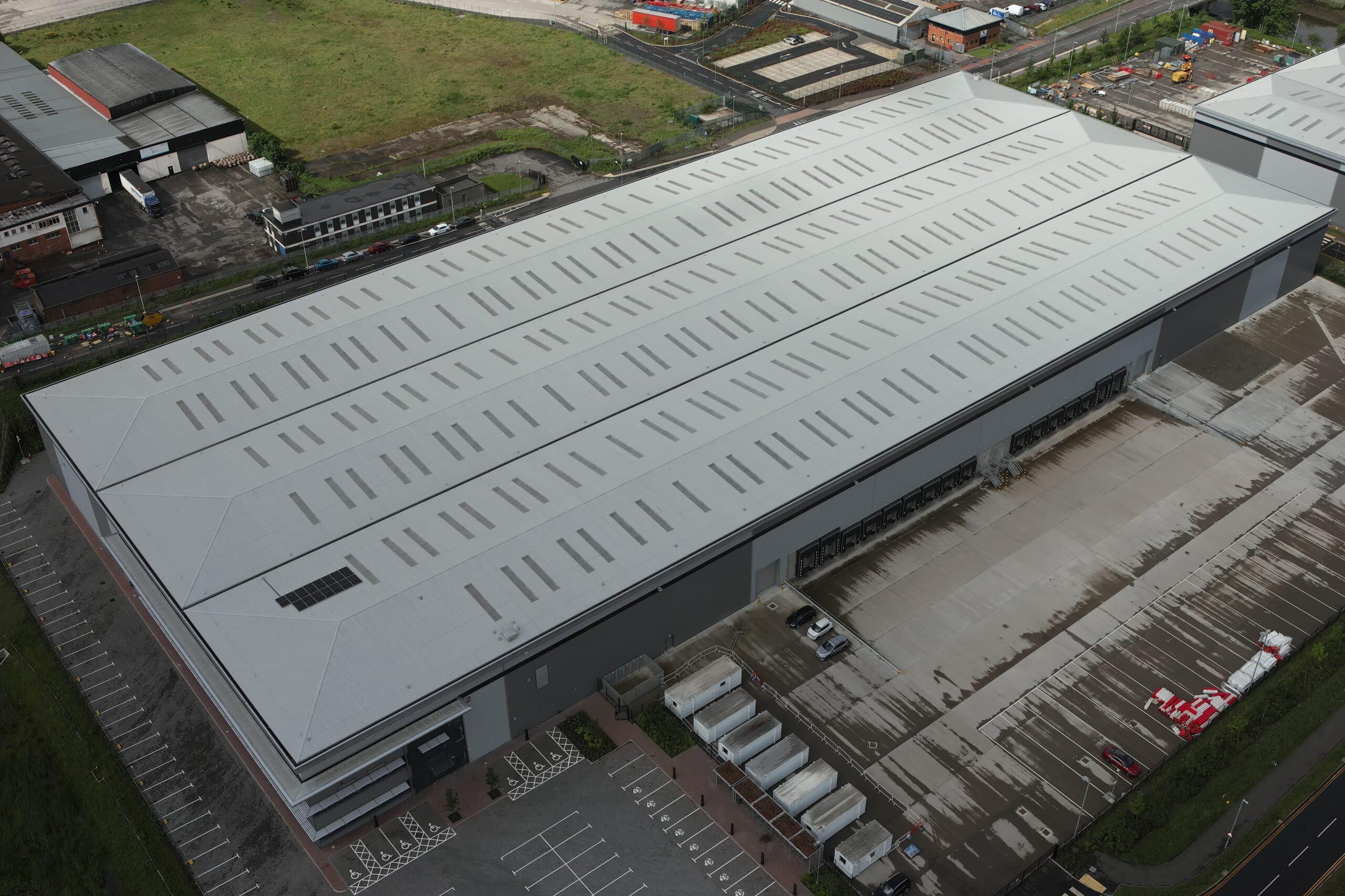
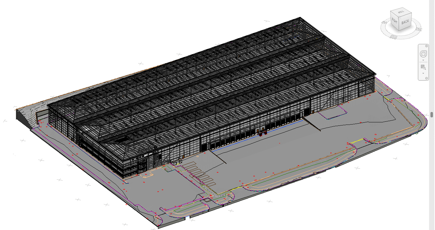
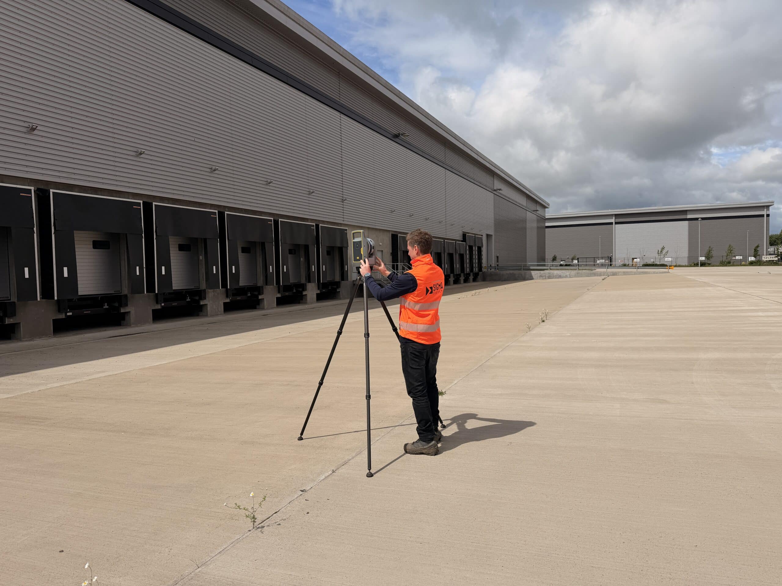
To undertake a full 3D Revit model to LoD300 specification along with a 2D/3D topographical survey of the site. Drone mapping of the roof was required to complete the exterior structure and the site was located well within the Glasgow Airport No-Fly Zone (NFZ). Therefore, the necessary permissions were obtained in advance, with constant communication maintained with Glasgow Air Traffic Control (ATC) throughout the UAV operations.
Survey Deliverables
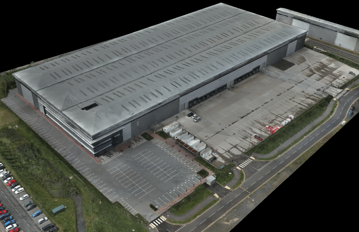
Client deliverables included detailed 2D and 3D topographical survey data, together with a full Revit model produced to LoD300 specification. Aerial imagery and a photogrammetric 3D model were also provided as part of the final survey package.
Equipment
The equipment we used on the Westway Business Park, Renfrew project.
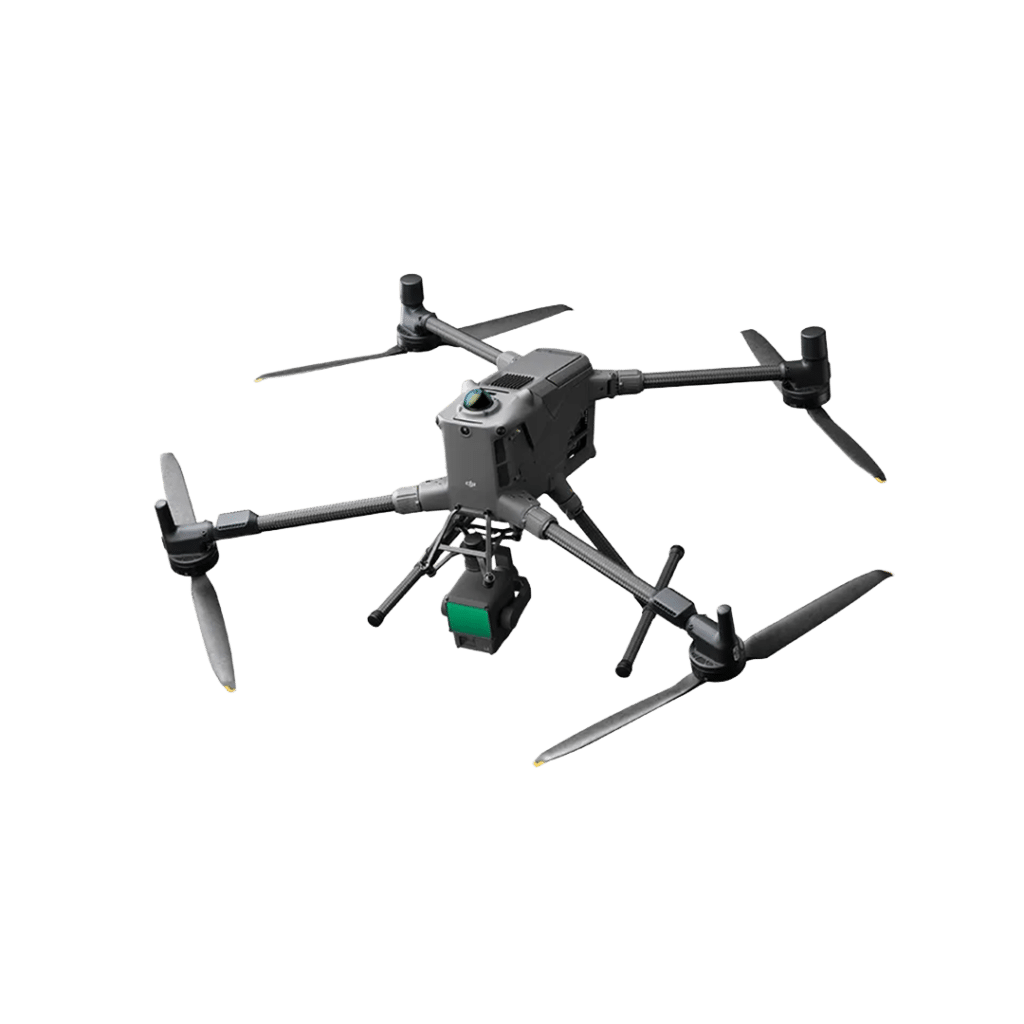
DJI Matrice M400 RTK

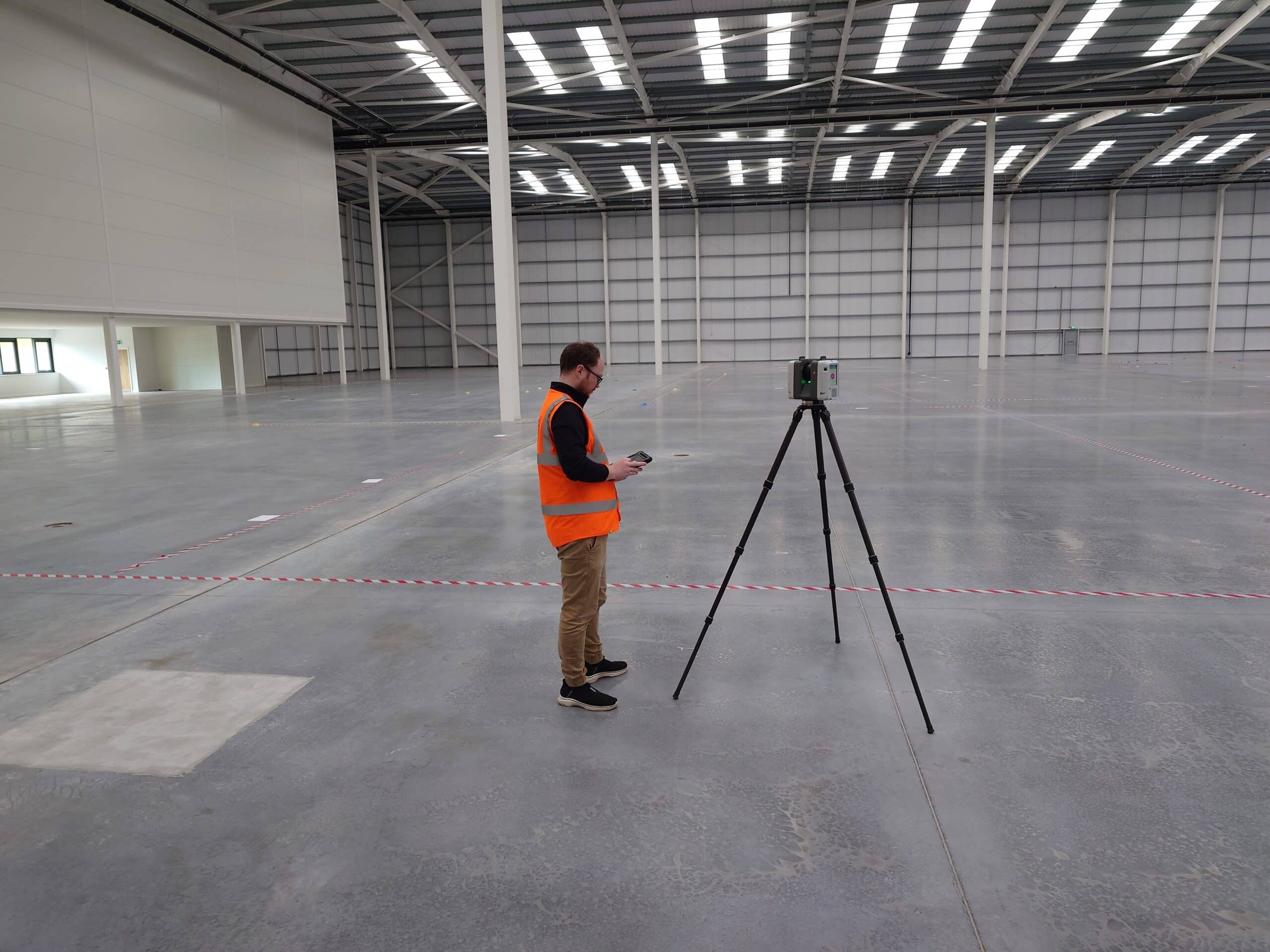
Leica RTC360 - 3D Laser Scanner

Trimble R12i - GNSS Receiver

Trimble S7 - Total Station

Trimble X9 - 3D Laser Scanner

Zenmuse P1 Camera
Software
The software we used on the Westway Business Park, Renfrew project.


Clients