Carlson Survey
Primarily used as our topographical surveying post processing software, Carlson Survey is designed to complement land surveying operations and provides a variety of survey features to process data from surface modelling to Least Squares Network Adjustment. The latter enables our surveys to be issued to the highest accuracy and can be incorporated into our 3D laser scanning and drone mapping datasets to coordinate, georeference and provide redundancy within the data.
The software has the following benefits that are utilised by Sigma Surveys.
-
Traverse Adjustment
Spreadsheet editor for raw data with graphics and processing for traverse adjustments
-
SurvNET
Advanced network least-squares for total station, GPS and level data
-
Field-to-Finish
Draw points with styles and in point groups set by point descriptions and draw linework by several flexible methods
-
Field-to-Finish Inspector
Inspect all field-to-finish elements, see description source and re-draw based on descriptions edits
-
COGO
Streamlined inverse, traverse, sideshot, intersections, interpolation, translate, rotate, scale and align
-
Coordinate Transformations
Transform coordinates and screen entities between lat/long and grid projections as well as local to local by Helmert and least-squares methods
-
Build Surfaces
By triangulation or rectangular grids
-
Contouring
One step triangulate and contour from 3D entities as well as contouring from surface files
-
Surface Manager
Change surface display properties and adjust surface functions to add and remove points and breaklines and swap edges
-
Volumes
Earthwork volumes between triangulation or grid surfaces

Software Use Cases
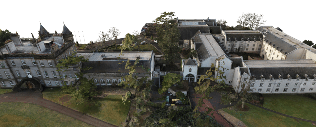
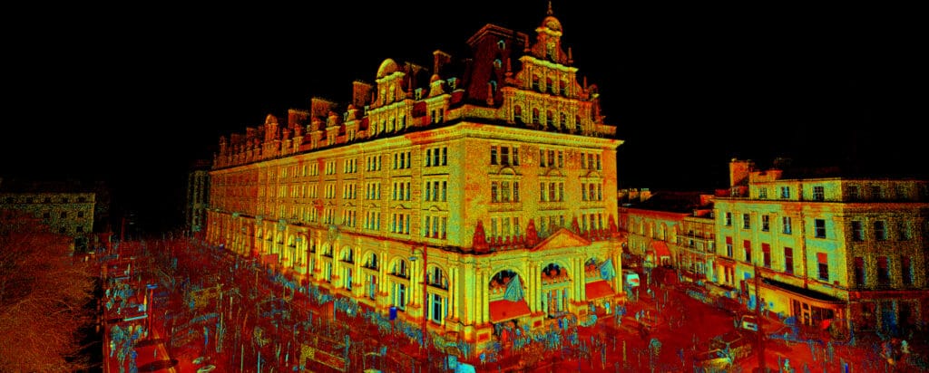
Here are some of the projects that utilised the Carlson Survey