Dalmahoy Country Club, Edinburgh
Gallery



Other Images
Client
- Cumming Group
Scope of Work
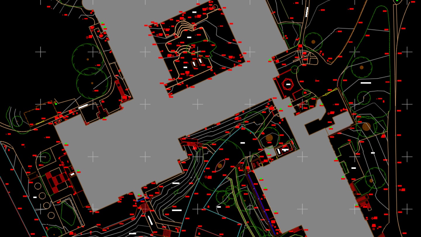
- Topographical Survey: Undertake topographical survey of the grounds using Trimble S7 total station and Trimble R12i GNSS receivers
- Underground Utility Survey: Conducted in accordance with PAS128 M3 to locate and map underground utilities. Equipment used for the survey was a Proceq GS8000 GPR and Radiodetection RD8200 CAT scanner.
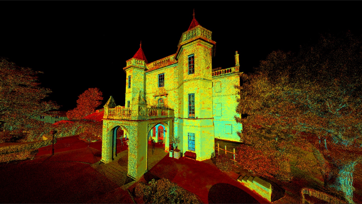
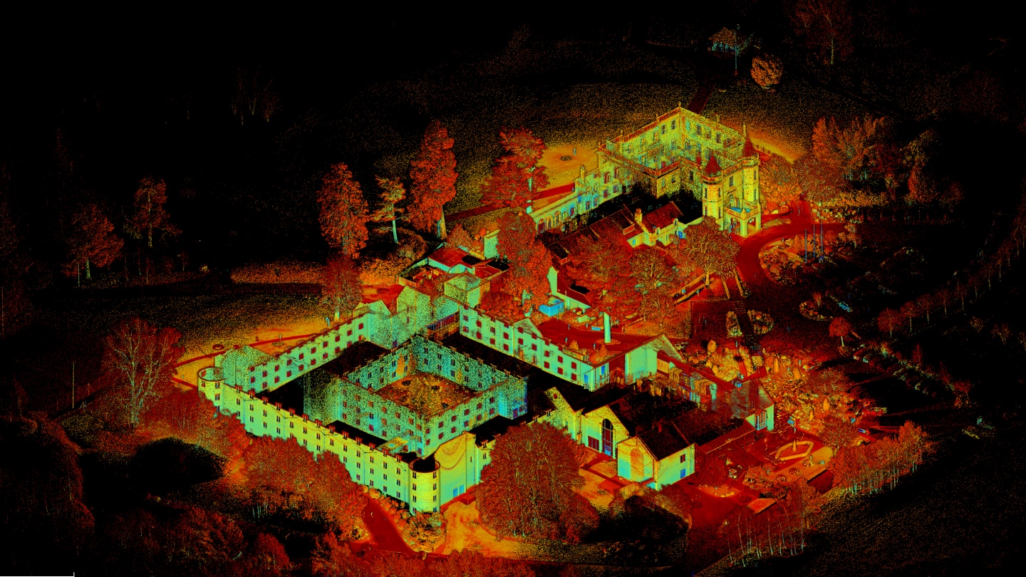
- Measured Building Survey: Undertaken using Leica RTC360 & Trimble X9 3D laser scanners for both the interior and exterior to produce:
- Detailed floor plans
- Elevations
- Cross sections
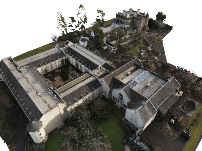
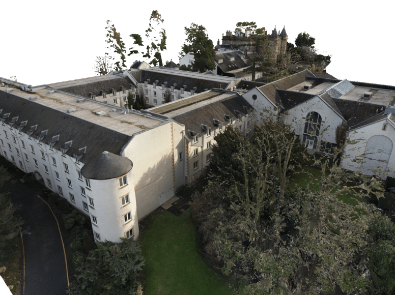
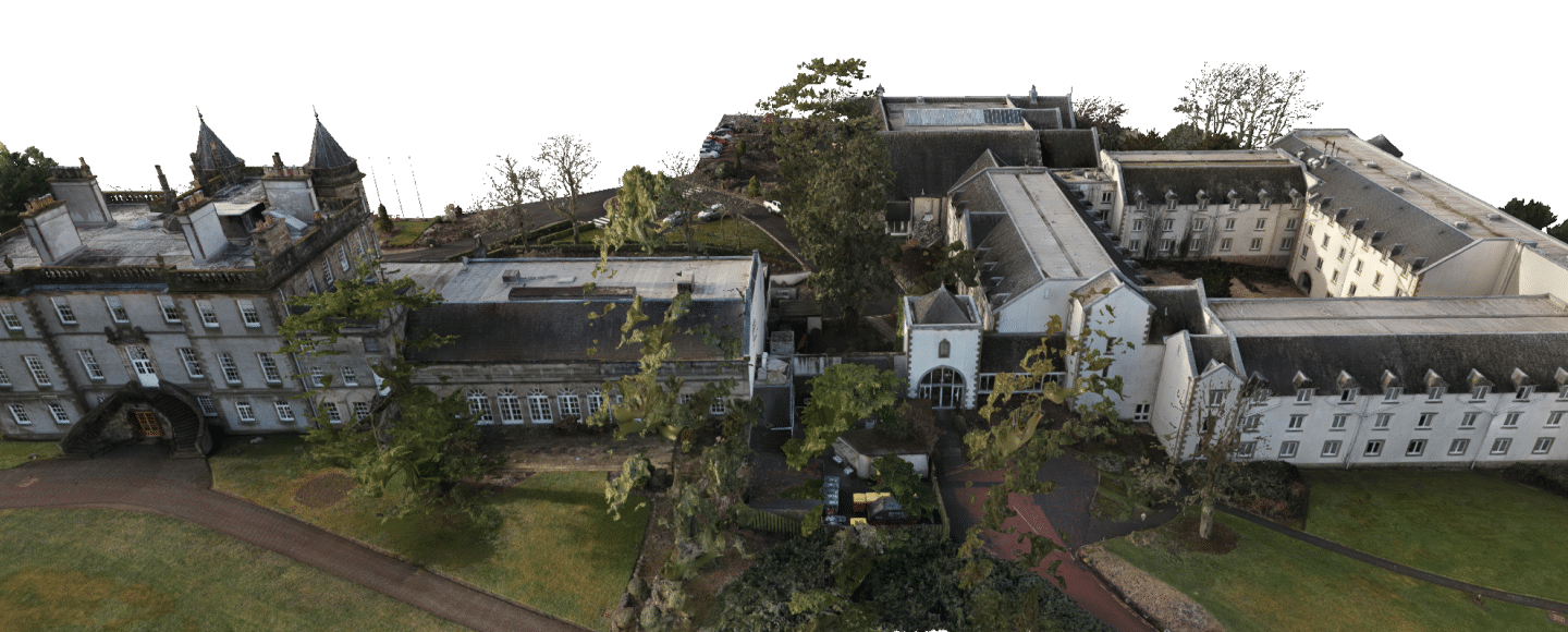
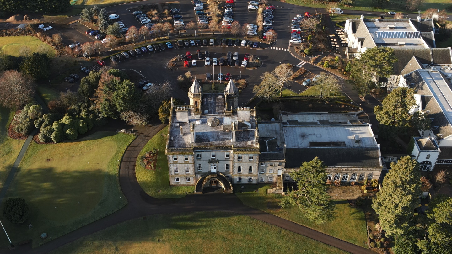
- Drone Survey: Supplement the terrestrial scans using a DJI Matrice 300 RTK UAV with Zenmuse P1 camera for:
- Roof mapping for fully detailed roof plan.
- Generating a photogrammetric model of the building exterior.
- High-resolution images captured from various angles to document the site.
Equipment
The equipment we used on the Dalmahoy Country Club, Edinburgh project.
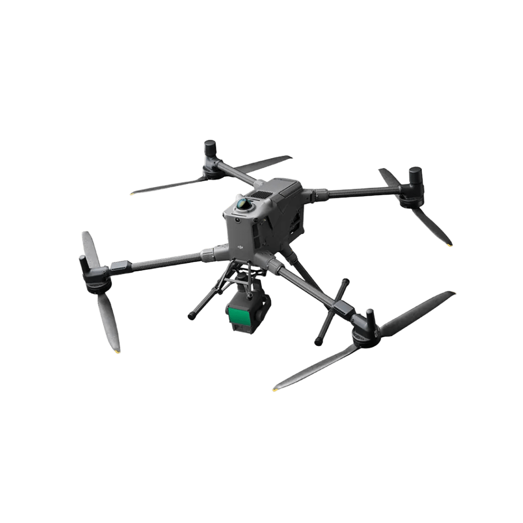
DJI Matrice M400 RTK

Leica RTC360 - 3D Laser Scanner

Proceq GS8000 GPR

RD8200 CAT Scanner

Trimble Dini - Digital Level

Trimble R12i - GNSS Receiver

Trimble S7 - Total Station

Trimble X9 - 3D Laser Scanner
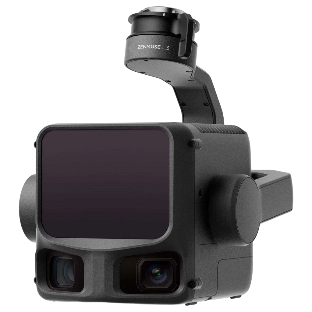
Zenmuse L3 LiDAR Sensor

Zenmuse P1 Camera
Software
The software we used on the Dalmahoy Country Club, Edinburgh project.




Clients