Zenmuse L3 LiDAR Sensor
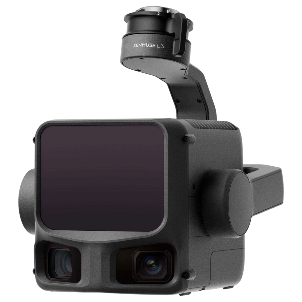
The DJI Zenmuse L3 is DJI’s next-generation high-accuracy aerial LiDAR system which features a long-range LiDAR capable of reaching up to 950m – even on objects with just 10% reflectivity. Dual 100MP RGB mapping cameras and a high-precision POS system accelerate geospatial data acquisition, enabling daily coverage of up to 100 km². It is the successor to the Zenmuse L2 and integrates several advanced features to enhance accuracy, data quality, and efficiency.
Applications
Ideal for topographic mapping, forestry, powerline inspection, infrastructure surveying, mining, and agriculture.
Seamless Integration
Designed to work seamlessly with the DJI Matrice M400 RTK drone for efficient, plug-and-play operations.
High Point Density
Maximum laser pulse emission frequency of 2 million pulses per second and support for up to 16 returns.
Equipment Use Cases
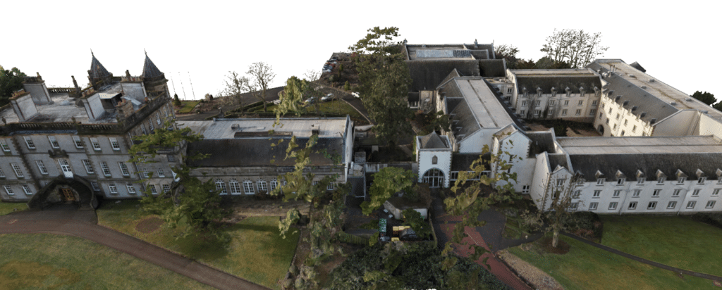
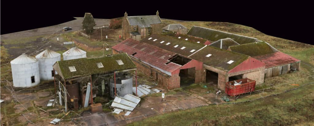
Here are some of the projects that utilised the Zenmuse L3 LiDAR Sensor