Zenmuse P1 Camera
The DJI Zenmuse P1 is a full-frame photogrammetry camera designed for aerial surveying and mapping, primarily used with DJI’s M300/M350 RTK drone. It’s considered one of the most advanced payloads for geospatial professionals due to its image quality, smart integration, and surveying efficiency.
Sensor & Imaging
Sensor Type: 35.9 × 24 mm full-frame CMOS - Resolution: 45 MP - Pixel Size: 4.4 μm — ideal for high-accuracy aerial photogrammetry.
Accuracy & Efficiency
Geotagging: Real-time RTK/PPK metadata embedded in each image. - Vertical Accuracy: Down to 3 cm - Horizontal Accuracy: Down to 5 cm
Use Cases
Topographic Surveys - 3D Modelling of Buildings and Infrastructure - Construction Monitoring - Mapping for Heritage and Archaeology

Equipment Use Cases
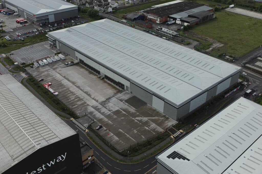
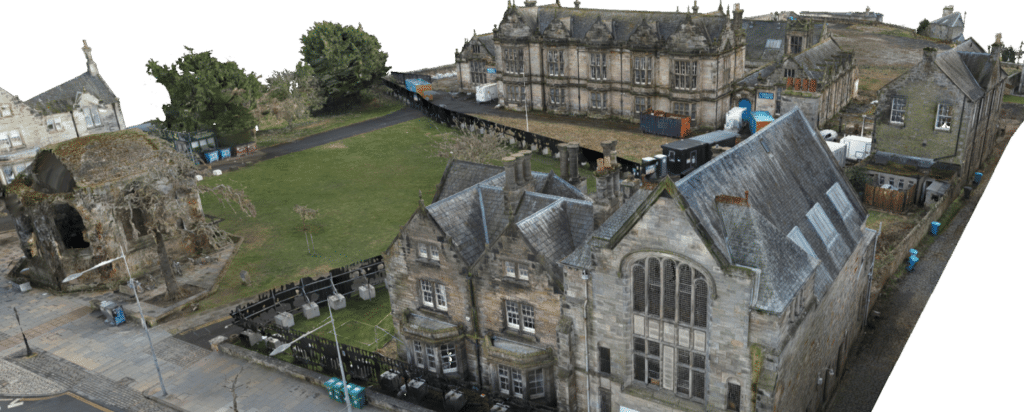
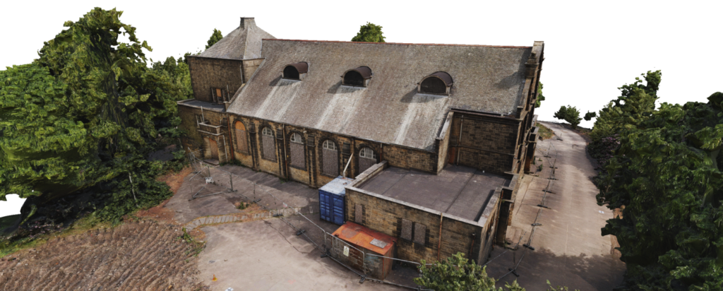
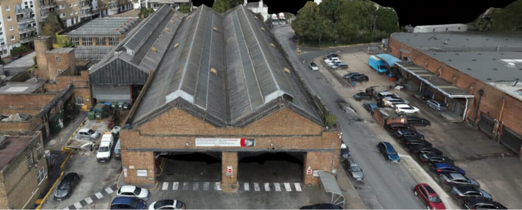
Here are some of the projects that utilised the Zenmuse P1 Camera