Bangour Village Hospital
Gallery


Other Images
Client
Morrison Construction
Survey Objective
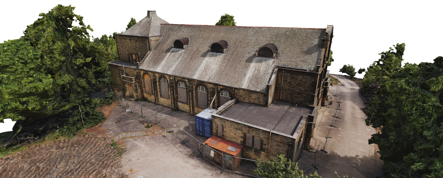
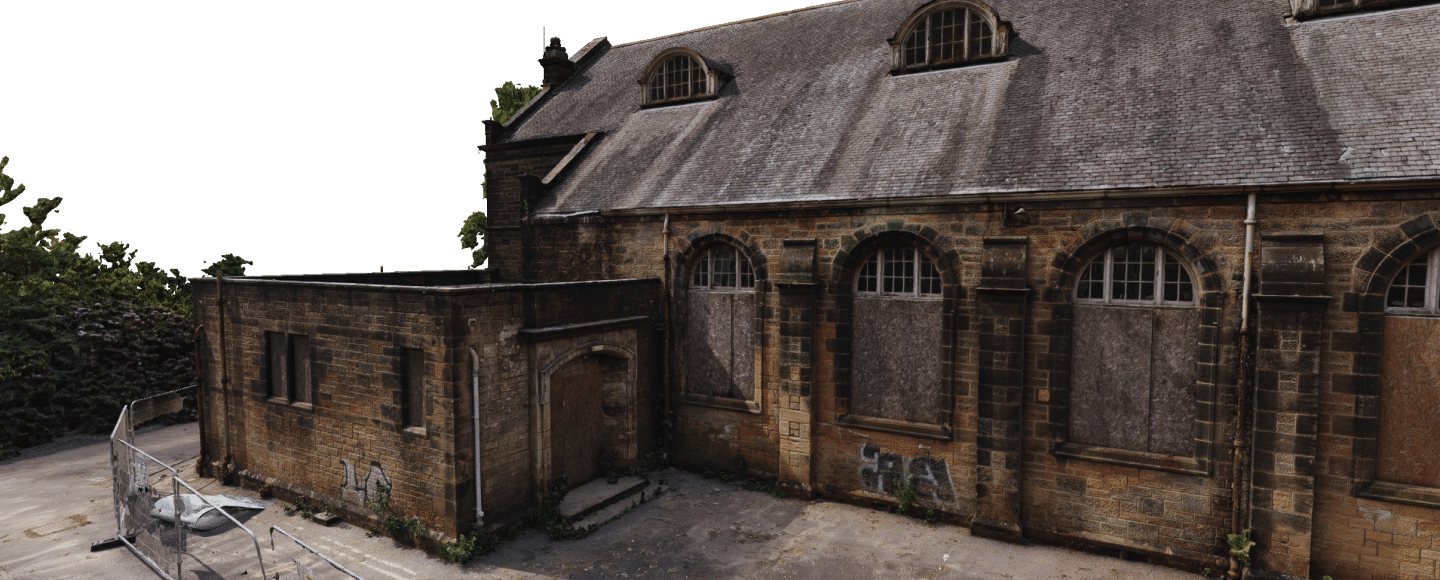
- Create a photogrammetric model of the Village Hall.
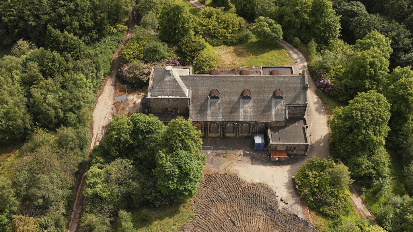
- Provide aerial images and 4K video.
Survey Methods
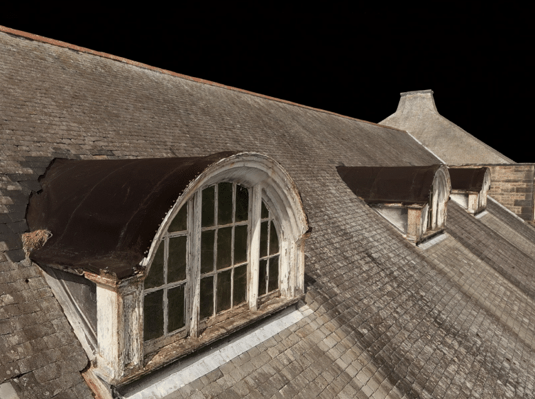
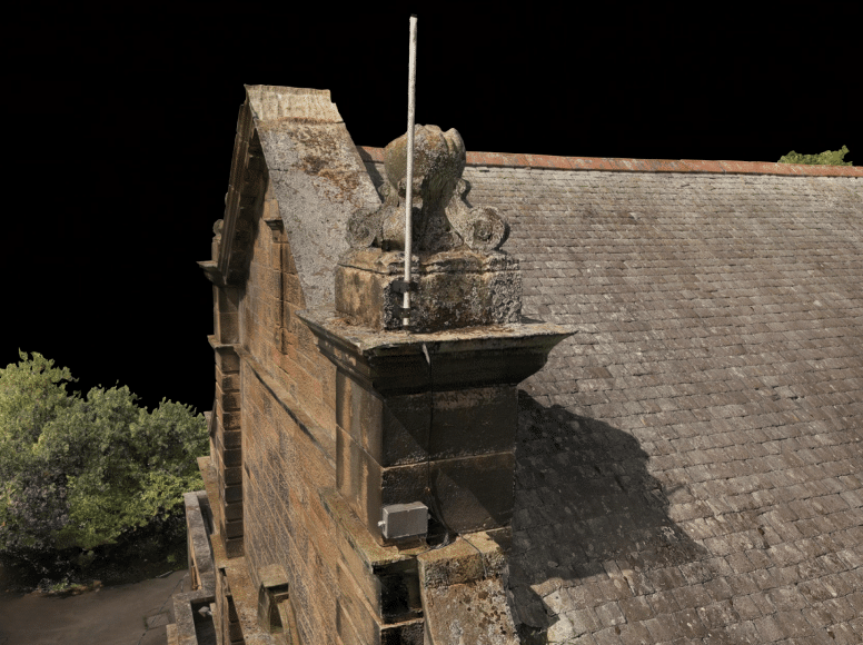
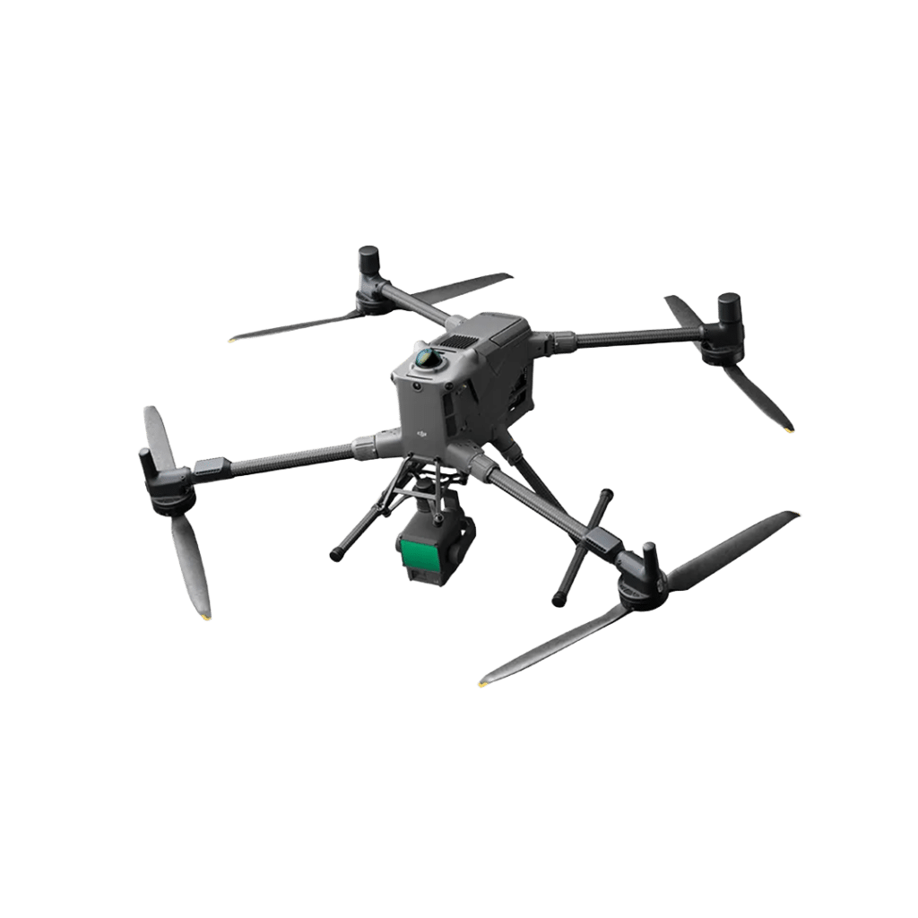
- Photogrammetry: Utilised advanced drone and photogrammetry techniques to capture detailed images and generate a 3D model. A DJI Matrice 300 RTK drone with Zenmuse P1 camera was flown with Ground Control Points (GCP’s) established around the building coordinated using Trimble R12i GNSS receiver. The data was post processed using DJI Terra to produce a highly detailed photogrammetric model that could be used by our client and their sub-consultants for visualisation purposes.
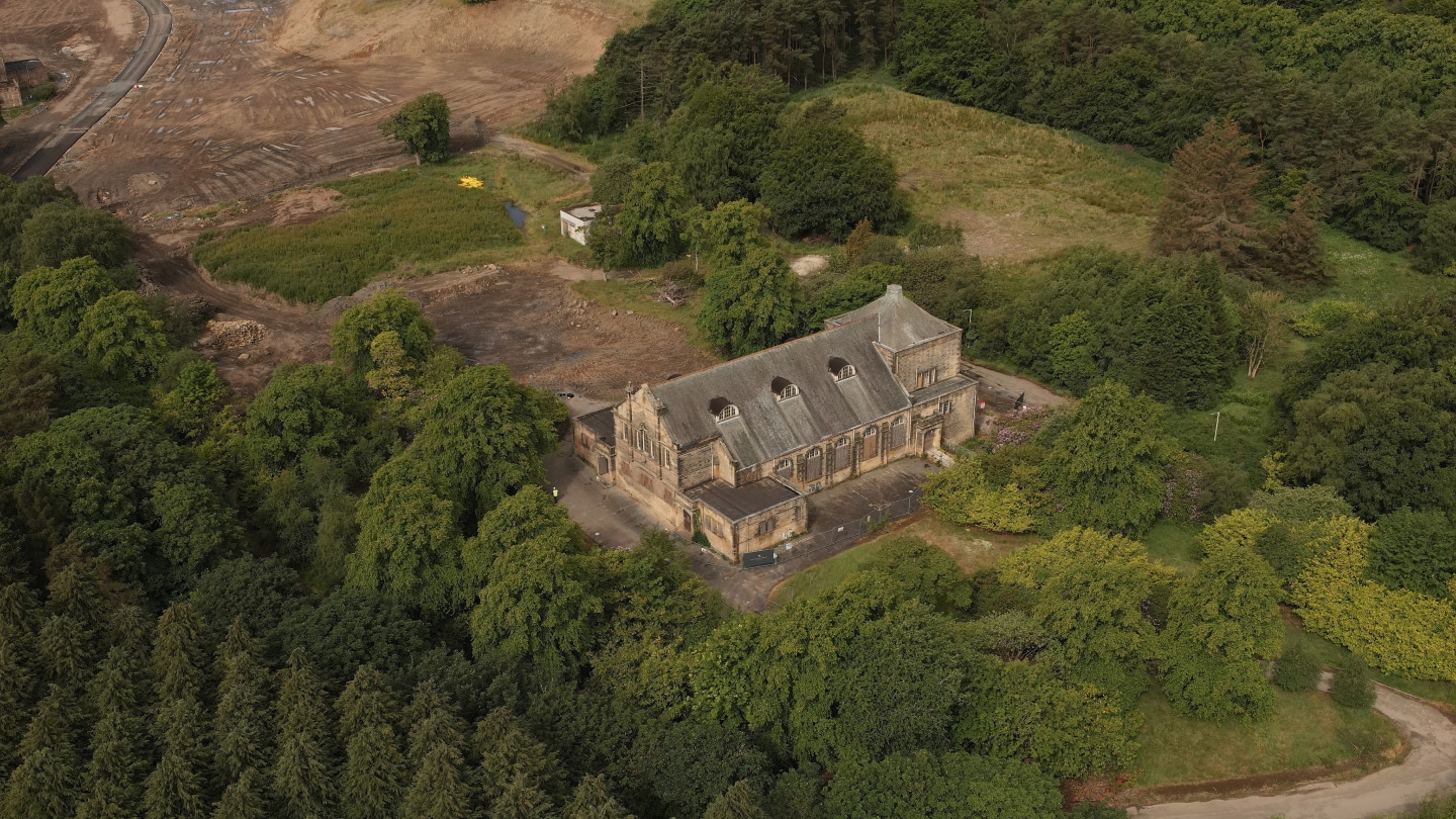
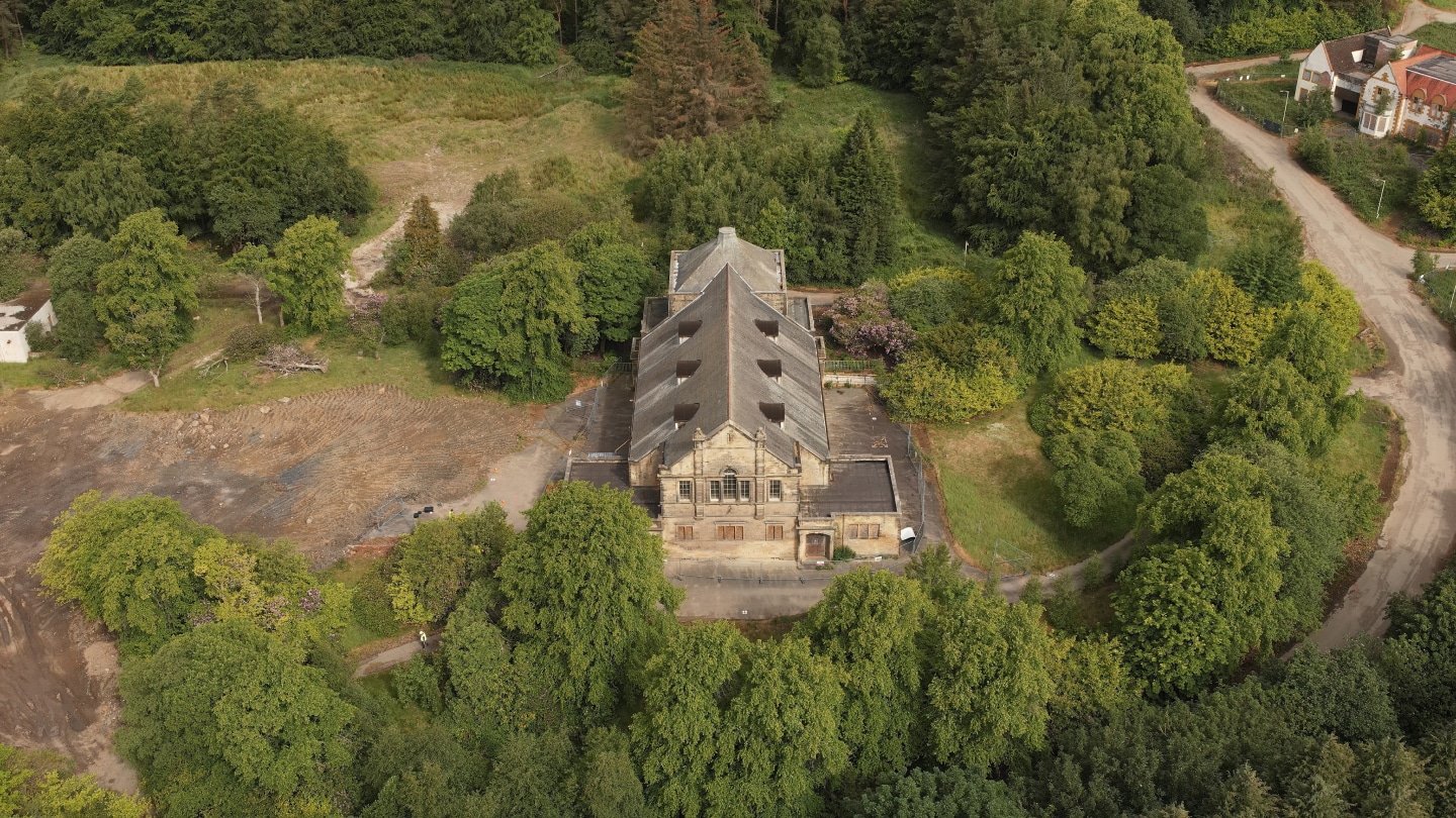
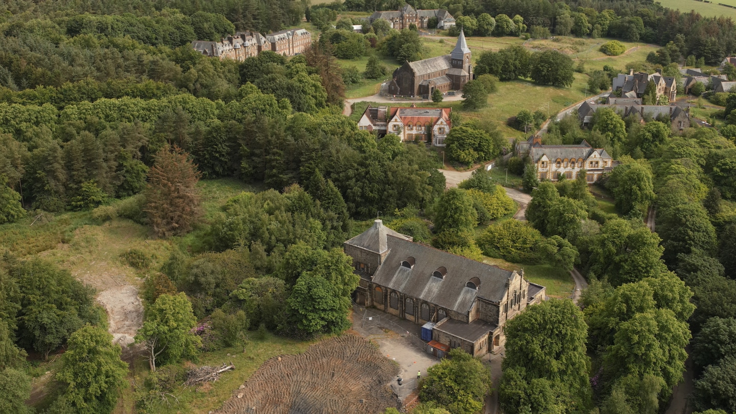
- Aerial Images and Video: Captured high-resolution aerial images and 4K video of the building and surroundings to provide a comprehensive view of the site.
Deliverables
- 3D Photogrammetric Model: Provided to Morrison Construction for sharing with consultants and aiding in quotes and designs. Generated within DJI Terra, accessible via this link.
- Aerial Images and Video: High-resolution imagery and 4K video footage provided via WeTransfer.
Equipment
The equipment we used on the Bangour Village Hospital project.




Clients