Madras College, University of St Andrews
*Press play to start the 3D Model
Gallery


Objective
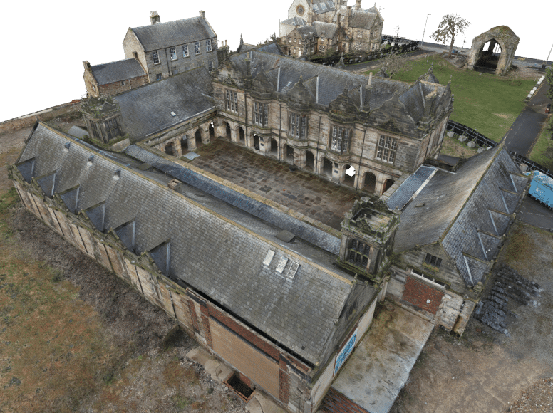
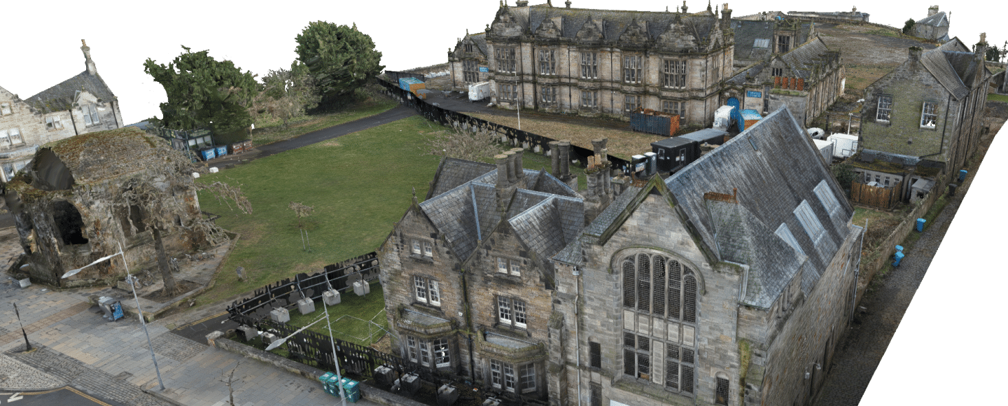
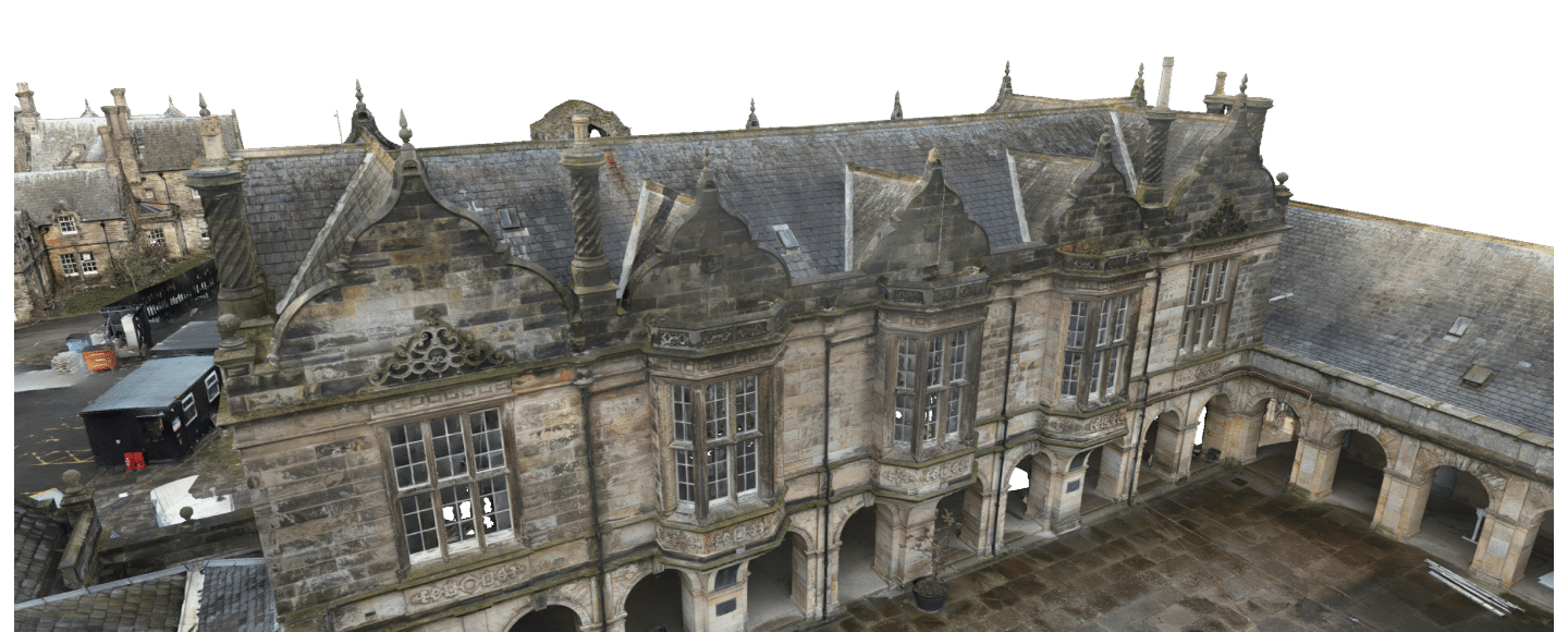
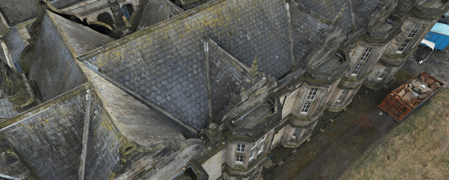
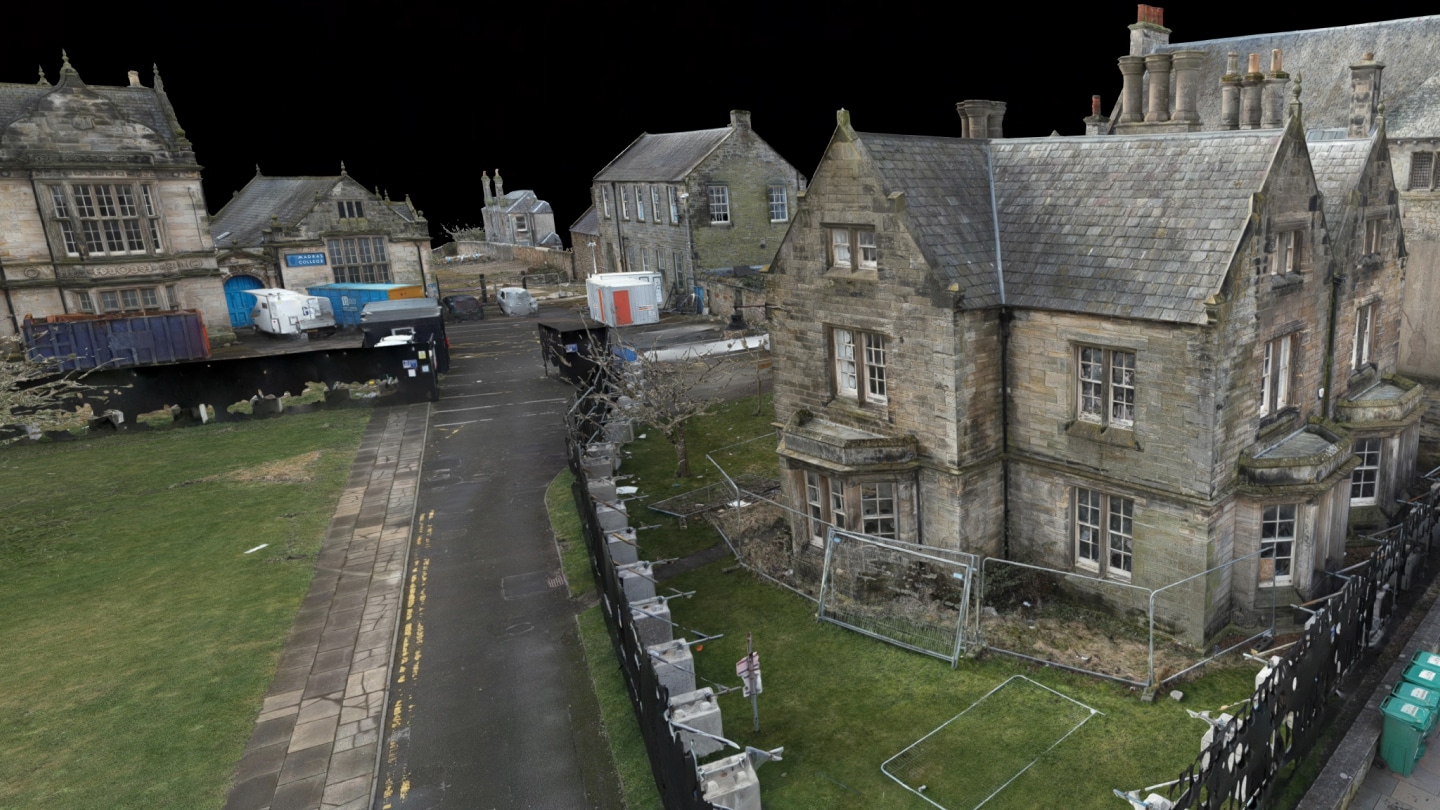
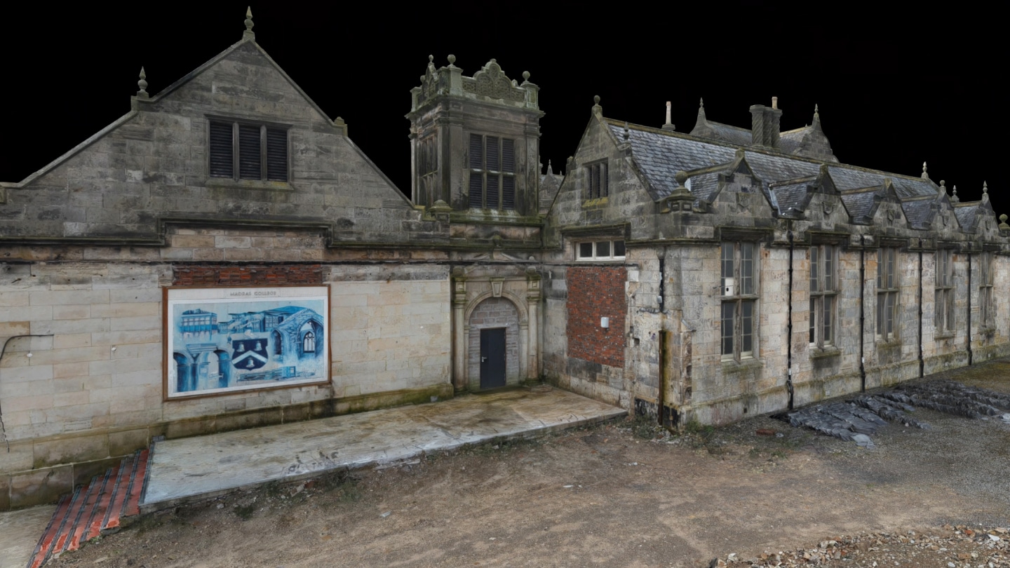
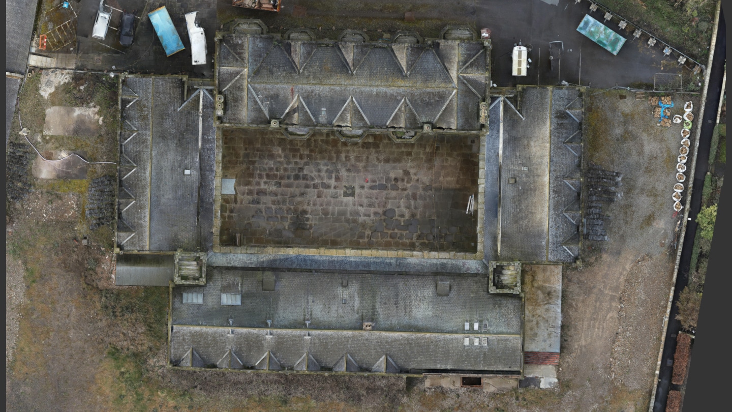
Deliver a detailed 3D point cloud of the roof and high-level areas, and integrate this dataset with existing terrestrial point clouds.
Data Collection
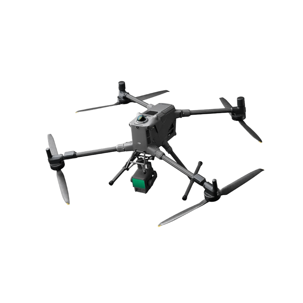
- Equipment: DJI Matrice 300 RTK UAV with Zenmuse P1 camera.
- Imaging: Captured over 5000 high-resolution images with 80-90% overlap.
- Processing: Post processed using Pix4D Mapper and DJI Terra to produce a detailed point cloud and photogrammetric model.
Integration
Established Ground Control Points (GCPs) to align the UAV dataset with the terrestrial point cloud provided by another surveying company.
Deliverables
- 3D Point Cloud: Covered the exterior of the building and the entire site.
- Photogrammetric Model: Produced for visualisation purposes.
Equipment
The equipment we used on the Madras College, University of St Andrews project.


Software
The software we used on the Madras College, University of St Andrews project.




Clients