Pix4D Mapper
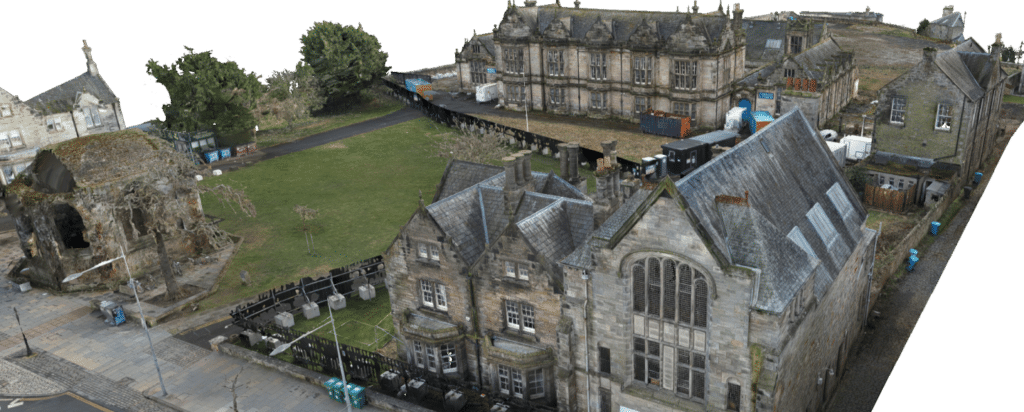
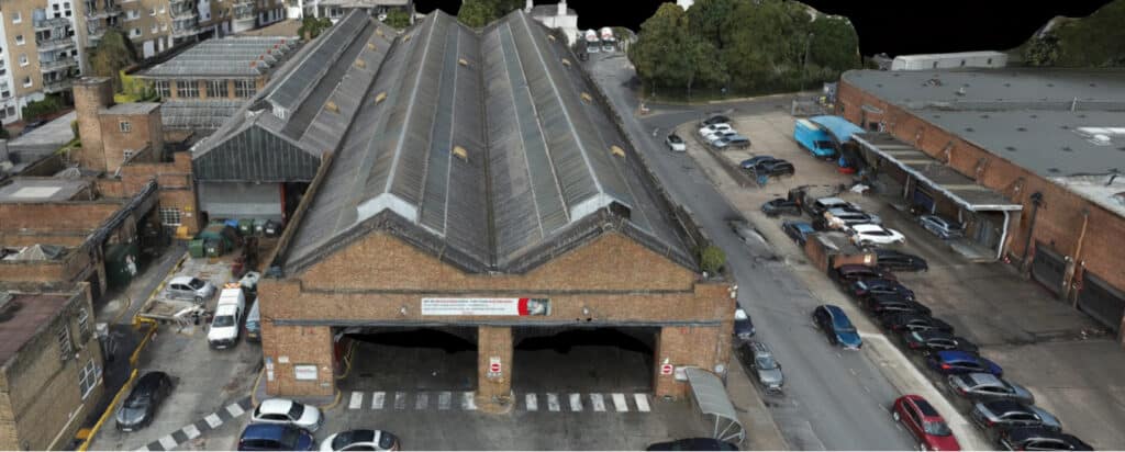
Pix4D Mapper is a leading photogrammetry software solution that automatically converts drone images into highly precise and georeferenced 2D maps and 3D models. In Sigma’s operations, we utilise this software in combination with DJI drones and high-percentage overlapping images to ensure detailed and accurate data collection.
The integration of Trimble R12i GNSS receivers allows for centimetre-grade accuracy, making the resulting datasets highly reliable for use in industries like architecture and surveying. This workflow ensures that the produced maps and models meet the stringent accuracy requirements for tasks such as site planning, construction monitoring, and terrain modelling.

Software Use Cases
Here are some of the projects that utilised the Pix4D Mapper