UAV / Drone Mapping Surveys
Related Projects




Drone / UAV Surveys
- Aerial Inspection (Photography & 4K Video)
- General hi-res photography of buildings / structures / site for condition or dilapidation surveys
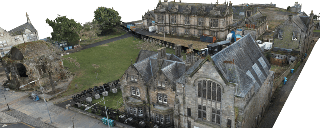
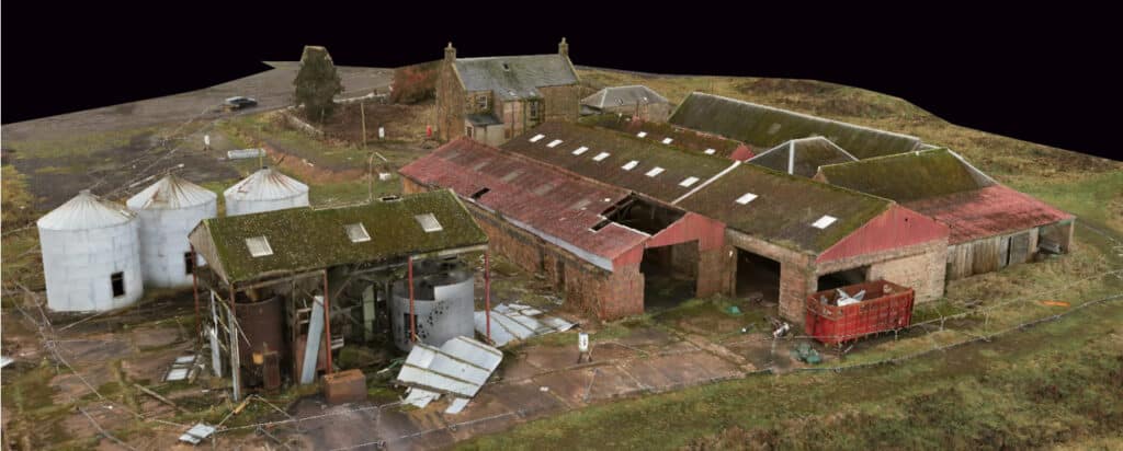
- 3D Mapping (Photography & LiDAR)
- 80% overlapping photography and Ground Control Points (GCPs) for accurate site data capture to produce;
- 3D Photogrammetric Models
- 3D Point Clouds
- Georeferenced Ortho Images
- Volumes Calculations
- 80% overlapping photography and Ground Control Points (GCPs) for accurate site data capture to produce;
- Contaminated Land Surveys
- Surveys of sites that are inaccessible by foot
- Ground Control Points (GCP’s)
- Installation of GCP’s for larger mapping exercises
- Truth Patches
- Truth patches for larger mapping exercises
- Thermal Imaging
Drone technology has advanced significantly in recent years, utilising survey-grade drones equipped with RTK GPS and high-end cameras for precise 3D mapping via photogrammetry.
Sigma Surveys utilise the following drone, camera and mapping software.
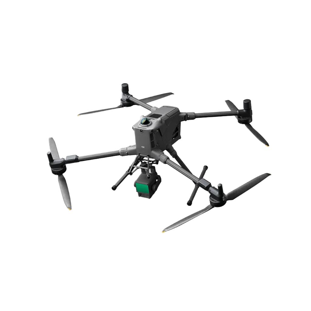
- DJI Matrice M350 RTK drone with Zenmuse P1 camera for centimetre-level accuracy and metadata capture.
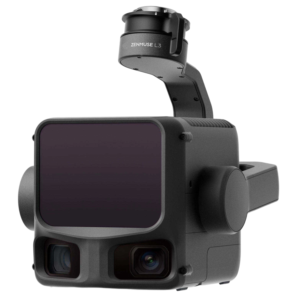
- Zenmuse P1 camera featuring a 45MP full-frame sensor for both photography, mapping and inspection.
- DJI Matrice M350 RTK compatible with Thermal Imaging using the H20T camera and LiDAR sensors like the DJI Zenmuse L2 or Emesent Hovermap ST-X.
- A range of software options, including Pix4D, Drone Deploy, Reality Capture, and DJI Terra, tailored to client requirements.
- Hosting 3D models on Nira, allowing clients to view them via a URL.
- Drone Deploy provides powerful cloud-based tools for end-user customisation.
Make An Enquiry
Or Call Us On:
Contact Us
To request a quotation or discuss your survey requirements, please contact us using the enquiry form or details below. We look forward to providing you with unparalleled service and expertise no matter what size of project.