3D Laser Scanning / Revit Models
Related Projects






3D Models
Sigma Surveys utilises the latest Trimble X9 and Leica RTC360 laser scanners to deliver 3D point clouds in various file formats compatible with all major point cloud software. This flexibility ensures that the data meets the specific needs of our clients.
The point cloud data can be imported into Revit or SketchUp, where detailed models can be created to the required Level of Detail (LoD). This capability allows for precise and customisable 3D modelling tailored to the project requirements.
Model Services
- 3D Laser Scanning
- Site survey with 3D laser scanner to scan building internally and externally.
- 3D Point Cloud Data
- Register RAW scans within Trimble RealWorks post processing / registration software and export to various file formats.
- 3D Revit Models
- Import Recap files to Revit and generate model based on clients stipulated LoD.
- 3D IFC Models
- Export as IFC file compatible with SketchUp.
- 3D Photogrammetric Models
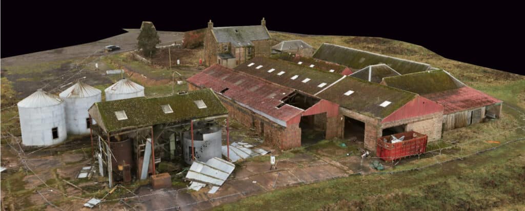
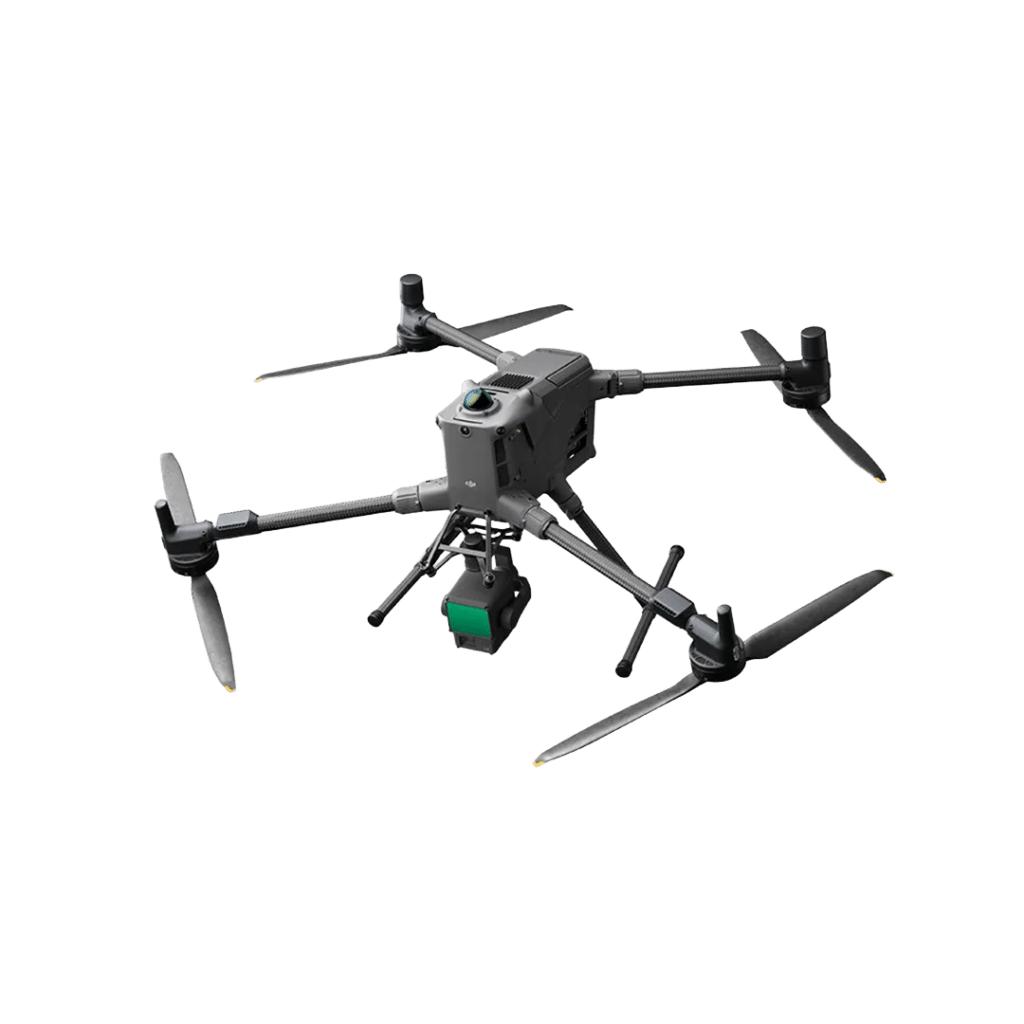
- Photogrammetric models can be produced from drone mapping techniques using DJI Matrice 300 RTK drone with Zenmuse P1 camera.
- 3D Visualisation
- Photogrammetric model can be uploaded to Nira web hosting for clients to view and share.
- Matterport surveys for generating a digital twin with visualisation of building interior.
Make An Enquiry
Or Call Us On:
Contact Us
To request a quotation or discuss your survey requirements, please contact us using the enquiry form or details below. We look forward to providing you with unparalleled service and expertise no matter what size of project.