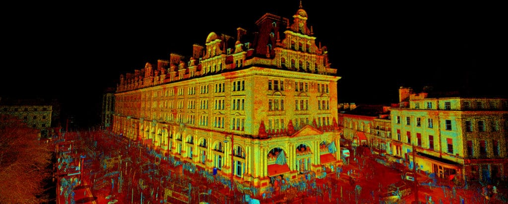
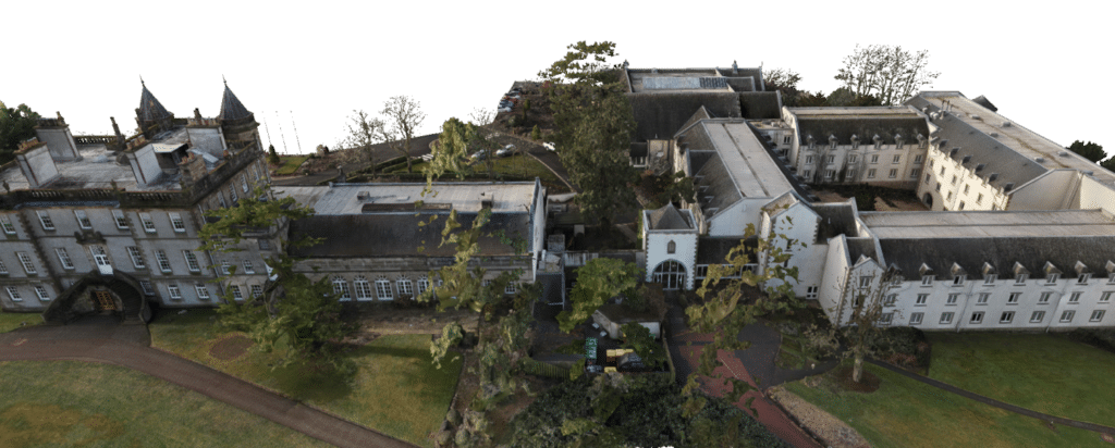
Trimble Realworks
Trimble RealWorks is a powerful scan registration software designed for processing point cloud data from multiple sources, providing surveyors with automated workflows for fast and efficient data handling. It supports imports from laser scanners, drones, mobile mapping systems, and other point cloud-generating devices, making it highly versatile for a wide range of applications.
At Sigma Surveys, we operate Trimble RealWorks to transform complex point cloud data into high-quality outputs, enhancing accuracy and streamlining workflows across geospatial and engineering projects. Our point clouds can be exported in various formats, including RCP, E57, XYZ, TXT, and LAS, ensuring compatibility with leading drafting and modelling software.

Software Use Cases
Here are some of the projects that utilised the Trimble Realworks