DJI Matrice M400 RTK
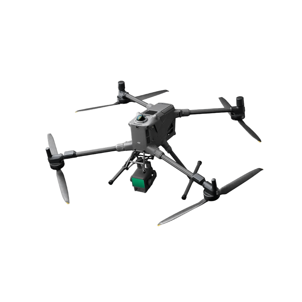
DJI Matrice 400 RTK is Sigma Surveys & Mapping’s latest enterprise UAV platform, delivering exceptional performance for demanding geospatial surveying projects. With flight times of up to 59 minutes and the ability to carry advanced payloads, including the DJI Zenmuse L3 LiDAR sensor, it enables the rapid capture of highly accurate survey data over large and complex sites. Integrated obstacle sensing, enhanced video transmission, and advanced autonomous flight capabilities allow safe operation in challenging environments. The Matrice 400 is ideally suited to topographical surveys, aerial LiDAR mapping, infrastructure inspections, construction monitoring, utility corridors, and large-scale engineering projects, providing clients with accurate, reliable, and efficient survey solutions.
Positioning Accuracy
RTK GNSS modules, offering centimetre accuracy when paired with a base station or Virtual Reference System (VRS)
Survey-Grade Payloads
Compatible with high-res cameras such as the Zenmuse P1 for photogrammetry or LiDAR sensors like the next gen Zenmuse L3
Geotagged Metadata
Captures detailed metadata such as coordinates, altitude, and orientation (yaw/pitch/roll) for accurate 3D reconstruction
Compatibility with Software
Integrates with processing tools such as Pix4D, Reality Capture and DJI Terra to produce topo surveys, models and volume calcs
Equipment Use Cases
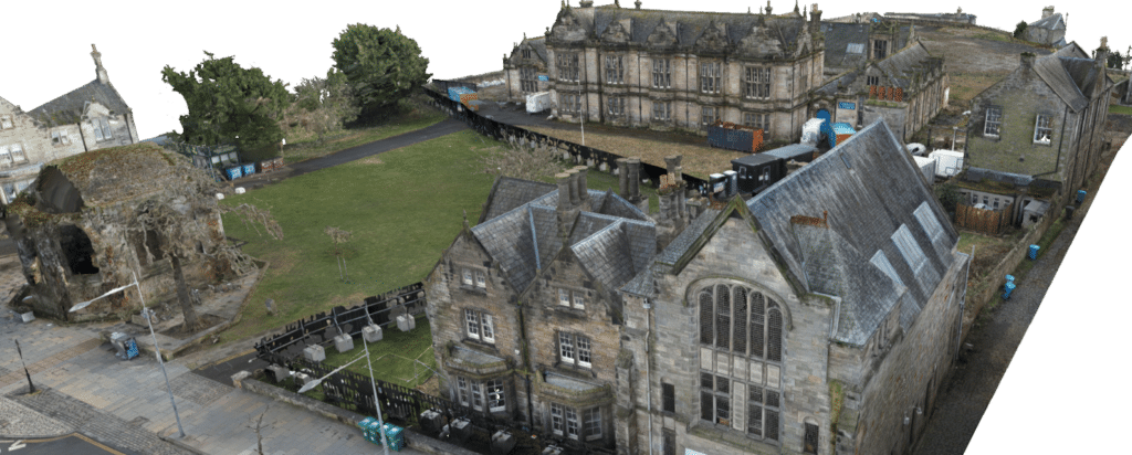
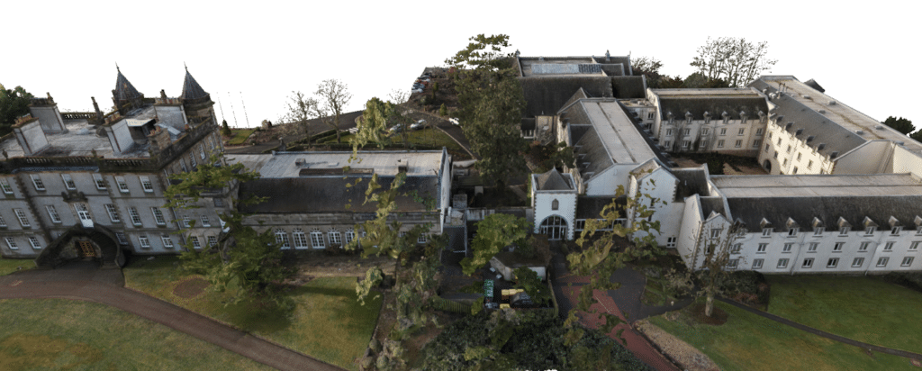
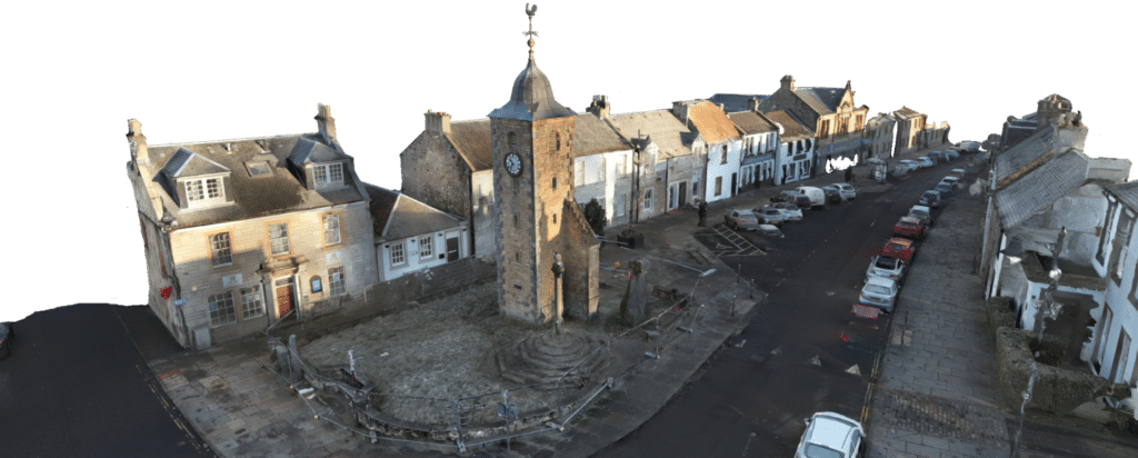
Here are some of the projects that utilised the DJI Matrice M400 RTK